Photovoltaic and new energy solutions
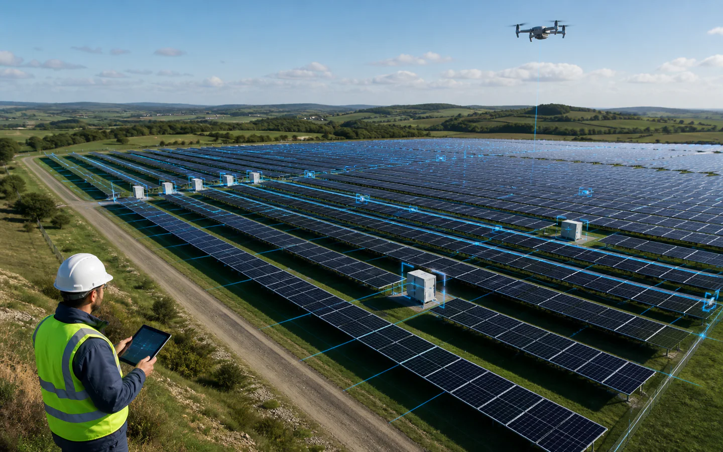
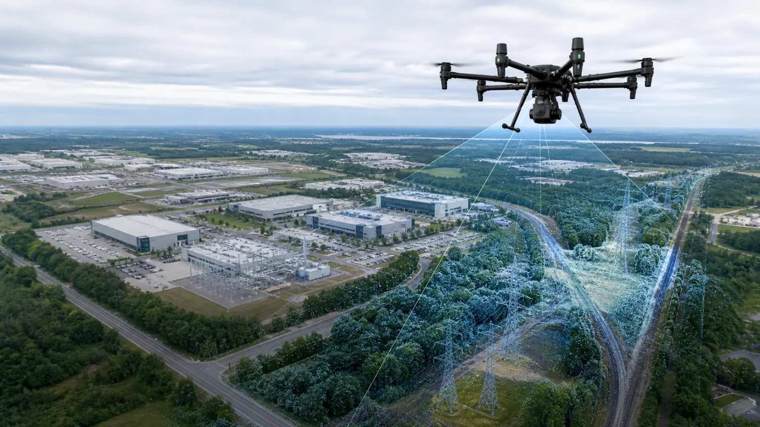
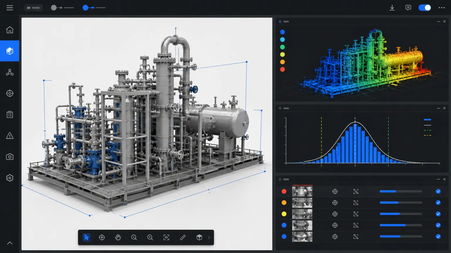
Record photovoltaic sites, wind power facilities and construction progress through drone images, photos and point clouds.
Photovoltaics and new energy / TRUSTWORTHY SPATIAL INTELLIGENCE
Covering a wide range of sites and construction areas.
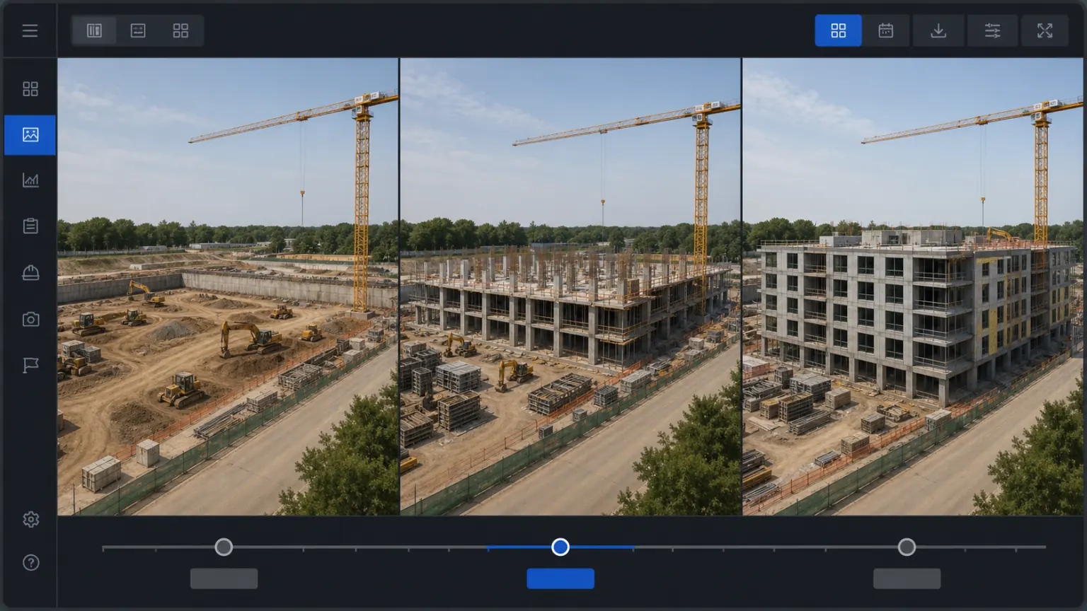
Save project and operation and maintenance status by time.
Associated components, inverters and risk points.
Start with a real project.
Project focus
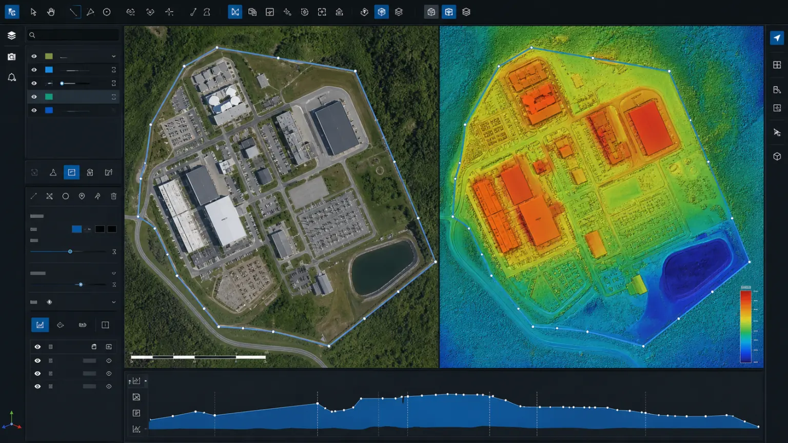
Organize scattered photos, drawings and field records into three-dimensional data that can be viewed, reviewed and continued to be used.
01
Manual inspection and data compilation are time-consuming.
02
It is difficult to align progress and problems at different times.
03
It is difficult for photos and records to correspond to the actual location.
solution capability
From collection, reconstruction to viewing and delivery, a workflow suitable for actual business is formed.
Form real 3D data that can be used continuously
Aviation procurement
Make key spatial relationships and object details visible
Contrast
Reduce duplicate attendance, rework and data verification
point
Support cross-team viewing, measurement, annotation and review
Measure
Complete basic spatial measurements online.
Precipitated into a 3D archive of the project that can be updated continuously
Inspection
Reduce unnecessary duplication.
Implementation process
Clarify the collection scope, data boundaries, results usage and acceptance requirements.
Build trustworthy 3D results using photos, videos, drones or point cloud data.
Complete viewing, measurement, annotation, sharing or enterprise system access.
Delivery content
The specific delivery scope will be confirmed based on the project objects, data conditions, usage methods and deployment requirements.
04
05
Customer Stories
The following locations are used to present project background, implementation process, 3D outcomes, and quantifiable business results.
Application scenarios
Construction progress, component areas and inspection records.
Documentation around sites, roads and equipment.
Equipment layout, construction documentation and remote review.
Continue to view industry applications adjacent to your current project.
Next step
Submit the project scope, existing equipment and outcome requirements and we will provide acquisition, reconstruction and delivery recommendations.