Turn multi-source capture data into measurable, delivery-ready 3D assets
Process photos, video, panoramas, drone imagery and LiDAR point clouds in one desktop workflow. Reconstruct locally, verify accuracy, edit professionally and export in multiple formats, then sync to MeTop.ai Space for online delivery.
Models / Point clouds / DOM / DSM / 3D Gaussian Splatting
online delivery
Sync to MeTop.ai Space for viewing, sharing and management
Multi-source fusion reconstruction
Reliable geometry. Visible detail.
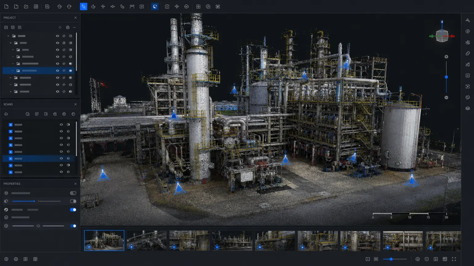
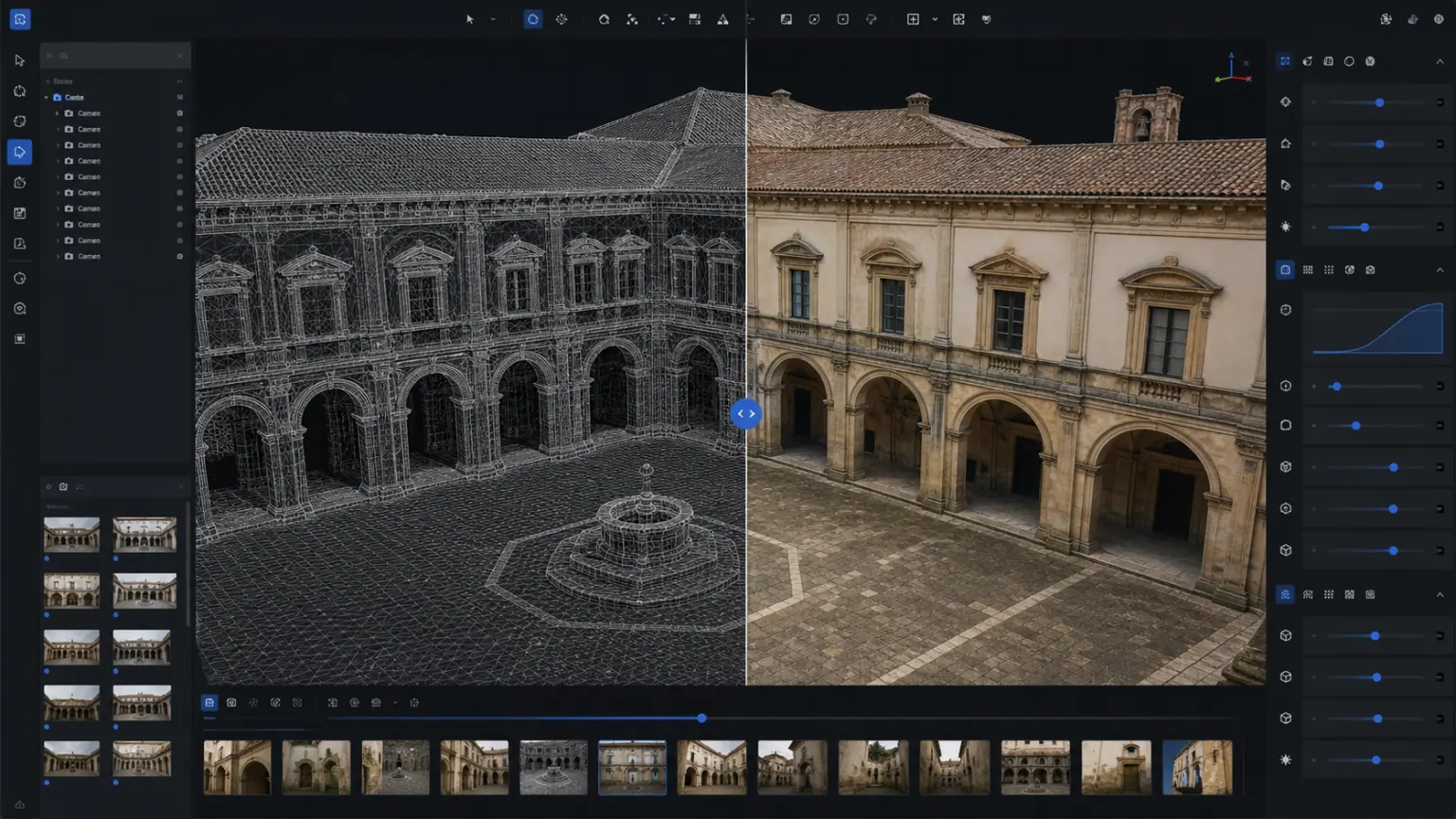
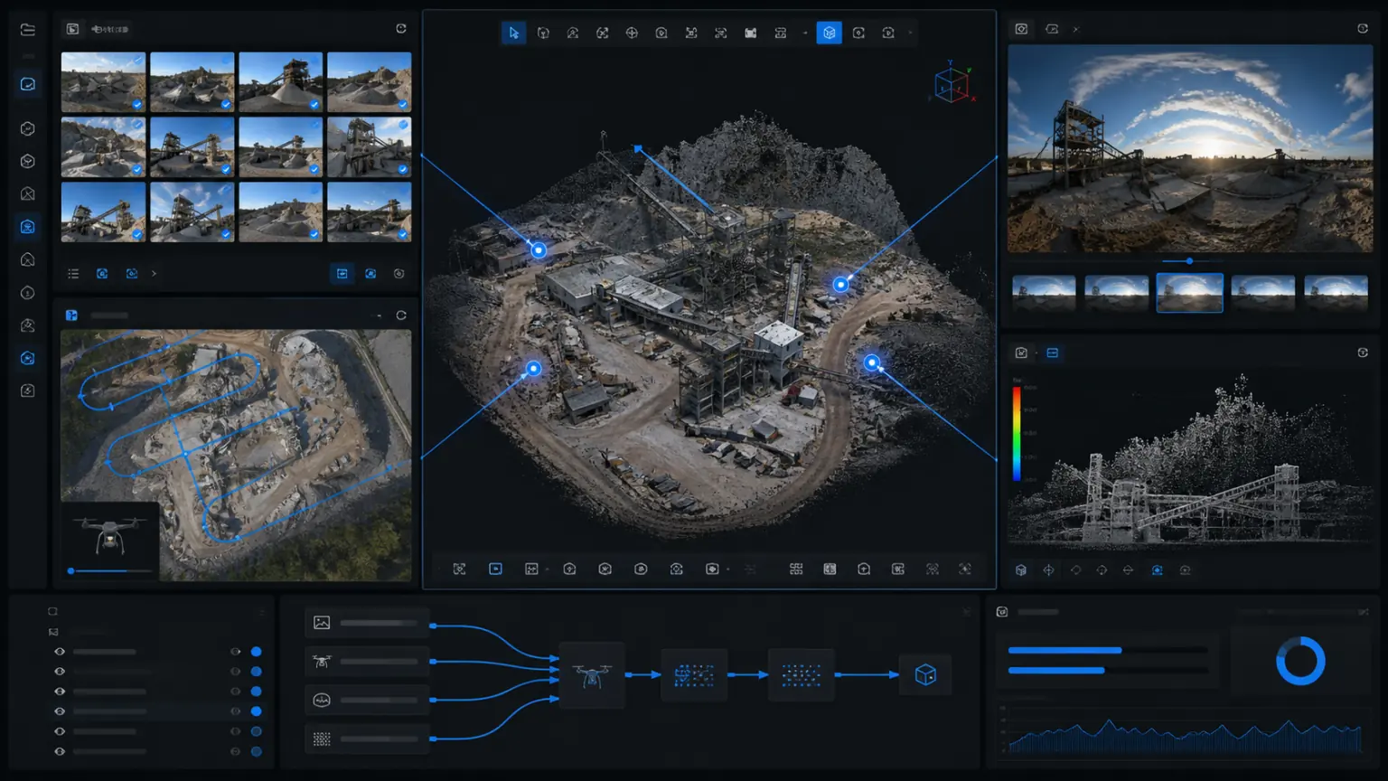
Put images, drone aerial photography and LiDAR point cloud into the same project: use measurement data to constrain structure and scale, and use images to restore texture and on-site details.
Geometry you can verify
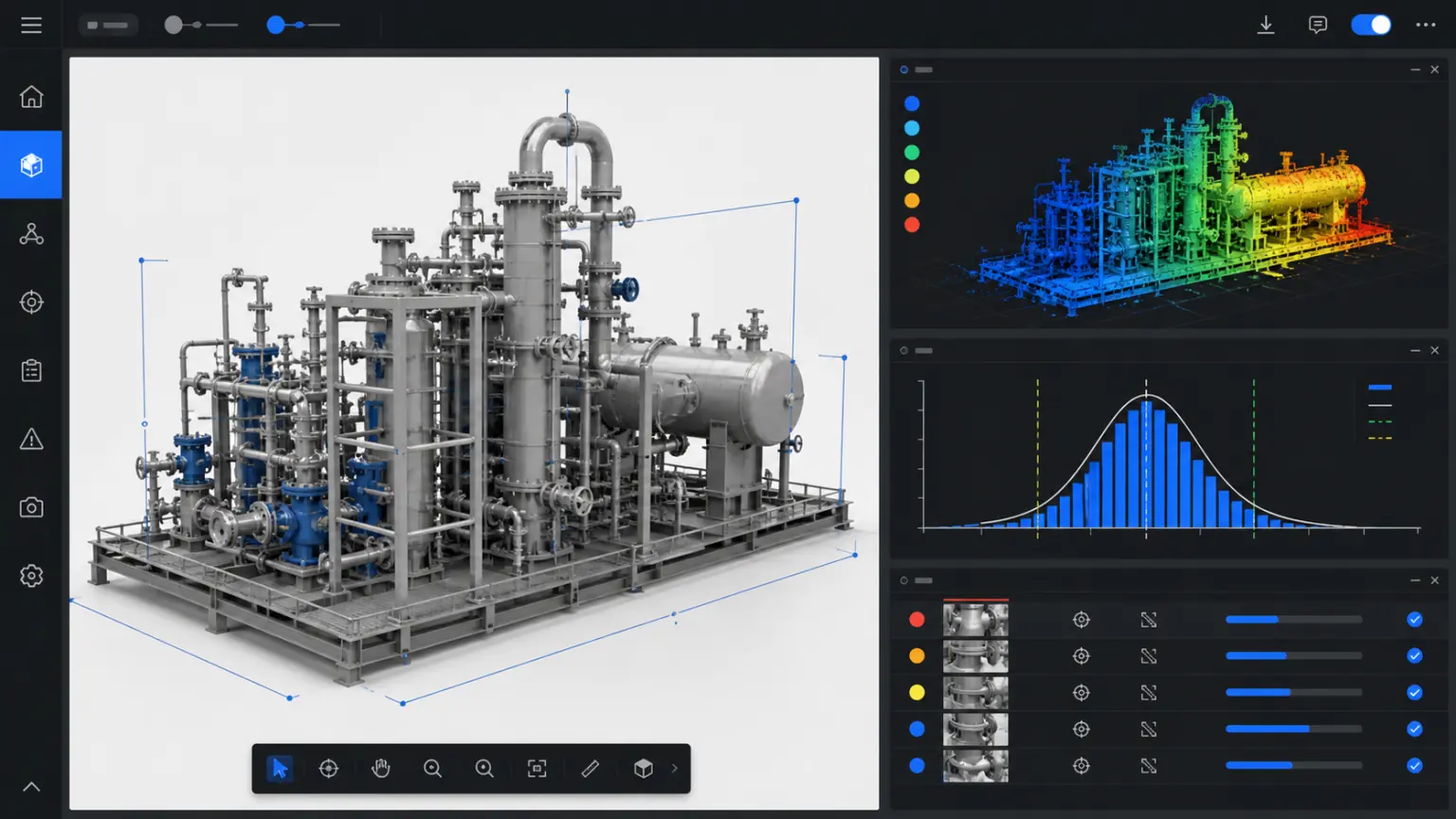
LiDAR point cloud, RTK, image control points and check points jointly constrain the structure and scale, making it easy to check whether the results are reliable.
Details you can inspect
Photos and videos complement textures, materials and on-site details, allowing for a clear and intuitive presentation of professional results.
One project, multiple deliverables
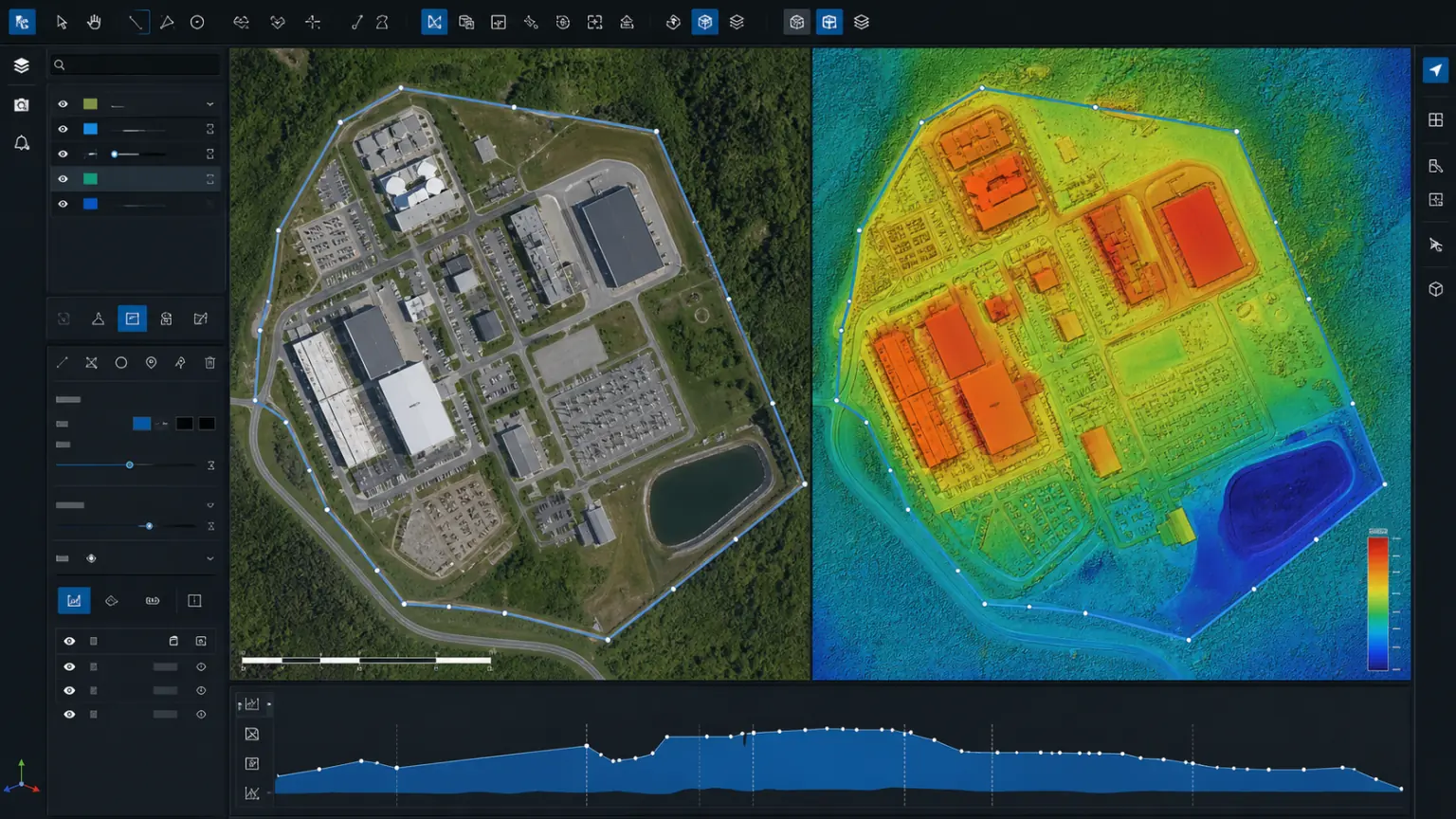
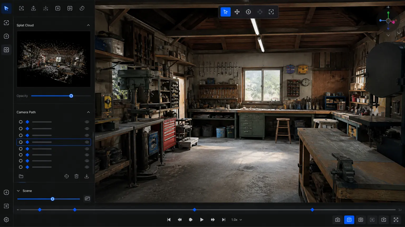
Export textured models, point clouds, DOM/DSM and 3D Gaussian Splatting assets in commonly used delivery formats from one project, reducing transfers between applications.
LiDAR point cloud
3D texture model
DOM / DSM
Gaussian
Device compatibility
Compatible with leading professional LiDAR scanners
Supports data import from multiple brands of handheld, backpack and mobile lidar scanning devices, and is suitable for industrial plants, underground spaces, pipeline facilities and large and complex scenes. Specific compatible models and data formats can be confirmed before starting the project.
More manufacturers
Reconstruction workflow
Complete a professional reconstruction in three steps
From data import, reconstruction settings to results inspection and delivery, the process is clear and the project status can be tracked at any time.
Import data
Batch import of multi-source materials
Import photos, videos, panoramas, drones, and LiDAR point clouds and organize coordinates, groupings, and quality status by project.
photos
video
Panorama
Drone
LiDAR
Set parameters
Select reconstruction parameters
Set the reconstruction type, accuracy, coordinate constraints and export results according to the needs of display, measurement, engineering review or large scene delivery.
texture model
point cloud
DOM/DSM
3D Gaussian Splatting
Deliverables
Generate professional deliverables
Generate three-dimensional results that can be measured, viewed, exported, and synchronized to the MeTop.ai Space for reporting, acceptance, and business reuse.
Measure
mark
Export
sync
Product capabilities
The professional tools you need for reconstruction, review and delivery
From material organization, local calculation to measurement review and result delivery, it reduces repeated import, conversion and alignment between multiple tools.
01
Unified import of multi-source data
Data collected by mobile phones, cameras, panoramic cameras, drones and lidar scanners can be organized and processed in the same project.
Supports photos, videos, panoramic images, aerial images and LiDAR point clouds
Organize materials by coordinates, collection batch and quality status
02
One project, multiple deliverables
The same project can not only generate photorealistic 3D content, but also output files needed for measurement, review, archiving and subsequent applications.
Export 3D results such as OBJ, PLY, FBX, B3DM, OSGB, etc.
Supports engineering achievements such as GeoTIFF, Google Map Tiles, DOM, DSM, LAS, PNTS, etc.
03
Large scene partitioning and batch management
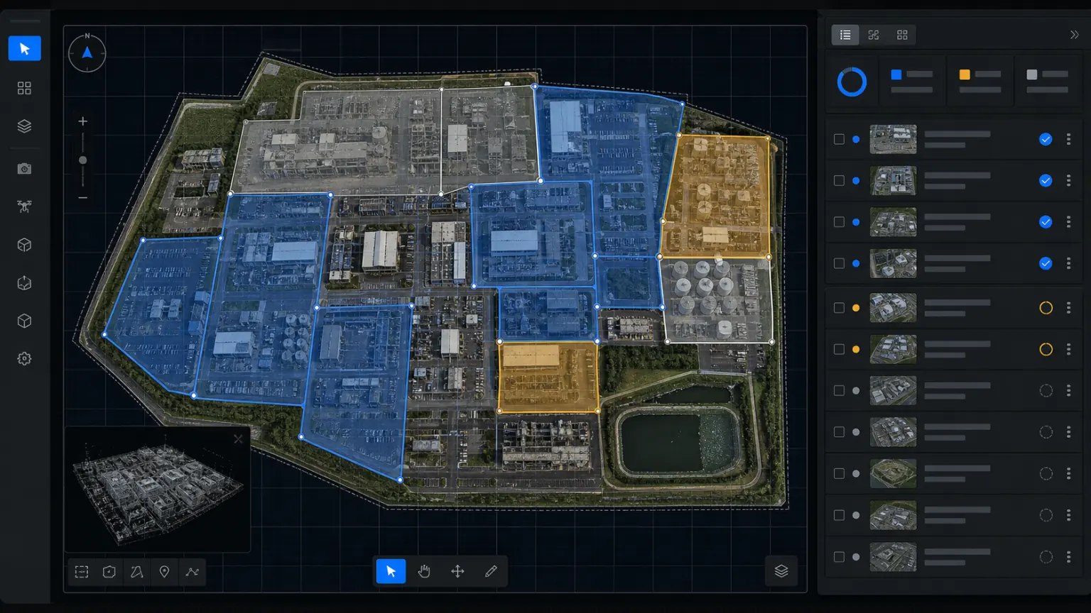
In large scenes such as parks, construction sites, mountainous areas, and energy facilities, processing tasks can be organized by region, collection batch, and result type.
Large projects can configure processing strategies based on local resources and project scale
Results can continue to be synchronized to MeTop.ai Space for online viewing and long-term management.
04
Measurement, marking and accuracy review
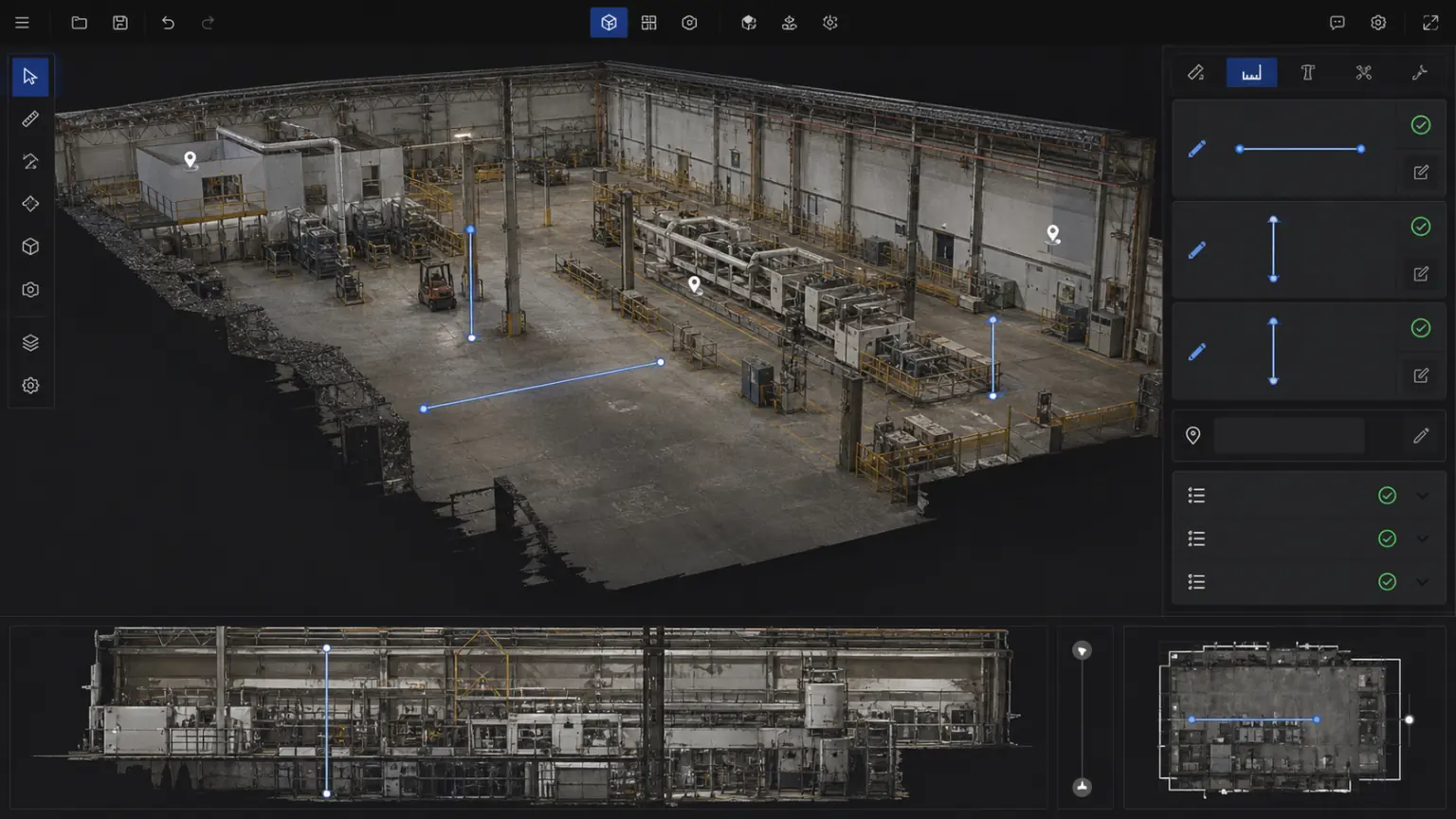
Use coordinate constraints, control points and check points to review results, and organize measurements and annotations into acceptance, reporting and review data.
Supports distance, area, volume, section and key point annotation
Suitable for project review, asset inventory, construction records and customer acceptance
05
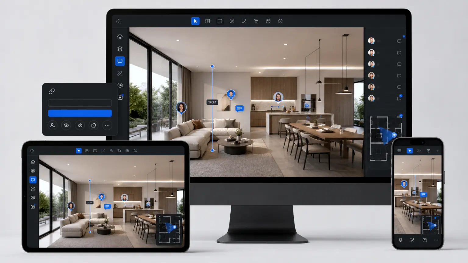
Process locally. Share in the cloud.
After completing the reconstruction on the desktop, synchronize the results to the MeTop.ai Space, continue to view them online, set permissions, and deliver them to customers.
Upload the reconstruction results to the project asset library
Online viewing, on-demand downloading, link sharing and web page embedding
Device-to-cloud workflow
Complete production locally and continue management and delivery in the cloud
MeTop.ai Studio handles local reconstruction and professional processing. MeTop.ai Space supports online viewing, asset management, collaboration, sharing and client delivery.
01
MeTop.ai Studio
Professional production completed locally
Import materials, set reconstruction parameters, check accuracy, and complete measurement, annotation and result output.
→
02
MeTop.ai Space
Synchronously manage 3D assets
Continuously manage models, point clouds, DOM/DSM and 3D Gaussian Splatting results in the same project.
→
03
Teams, customers and business systems
View and deliver online
Through permission links, web page embedding or file export, the results can be entered into reporting, acceptance and business applications.
More features
Reconstruction, review and delivery in one workflow
Drawing overlay, multi-phase comparison, measurement annotation and quality report allow 3D results to truly enter the project process.
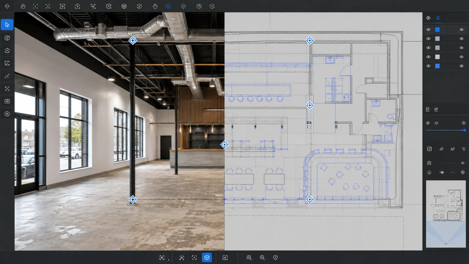
Overlay of drawings and real scenes
Overlay CAD drawings, vector layers, or orthographic results onto a 3D model of the real environment to intuitively see the relationship between design and site.
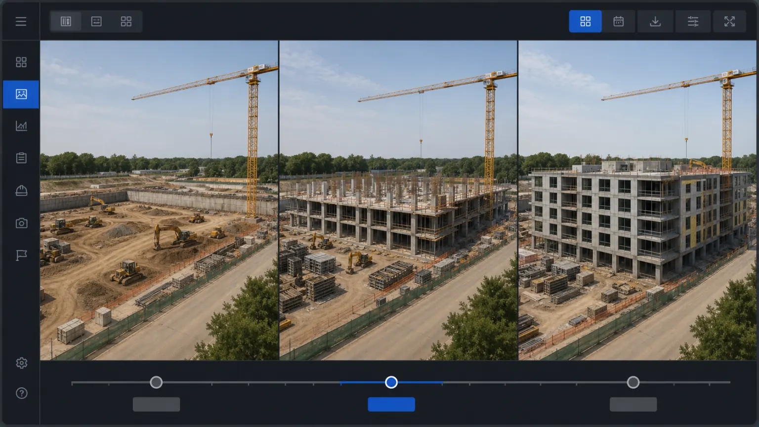
Multi-date deliverable comparison
The acquisition and reconstruction results of the same project at different times are retained for viewing construction progress, spatial changes, and asset status.
Measurement and Quality Reporting
Organize measurements, annotations, screenshots and quality inspection results into deliverables to facilitate team review and customer acceptance.
Where MeTop.ai Studio fits
These projects are more suitable to use virtual studios
For larger datasets, multiple data sources, measurement review or formal deliverables, a desktop workflow provides greater control and consistency.
01
Low-altitude surveying and inspection
Organize drone aerial photography, ground images and point clouds to generate reviewable scene results for inspection, mapping and reporting.
02
Industrial Park and Equipment
Establish three-dimensional files for factory areas, production lines and large equipment to support measurement, annotation, review and remote communication.
03
Construction and spatial changes
Check the construction progress and on-site changes through multi-phase collection results, and put together drawings, real scenes and inspection records.
04
Digital preservation for culture and tourism
Preserve the spatial structure and surface details of buildings, cultural relics and venues for digital preservation, display and research.
05
Film, Television and Digital Content
Obtain editable 3D assets from real spaces and objects for use in visual effects, virtual production and interactive content.
06
Professional project delivery
Deliver models, point clouds, DOM/DSM, reports and online links to the team and customers according to project requirements.
Technical specifications
Technical specifications and results format
The following covers the main inputs, outputs and recommended configurations. Accuracy and processing capacity depend on capture quality, project scope, hardware and delivery requirements.
Multi-source input
Photo / Video / Panorama / Drone / LiDAR
Trustworthy accuracy
RTK, image control points and checkpoint review
Multiple types of results
Models / Point clouds / DOM / DSM / 3D Gaussian Splatting
Device-to-cloud workflow
Sync to MeTop.ai Space for viewing, sharing and delivery
01
Recommended hardware
Processor: Intel i7 / AMD Ryzen 7 and above
Memory: 16GB starting, more than 32GB recommended for complex projects
Graphics card: NVIDIA discrete graphics card, 4GB or more of video memory recommended
Storage: It is recommended to use SSD and reserve sufficient project cache space
02
Support input
Images: JPG, PNG, TIF
Video: MP4, OSV, INSV, AVI, MOV, WMV, MPG
Point cloud: LiDAR point cloud, LAS, PLY and other common formats
Collection equipment: mobile phones, SLRs, panoramic cameras, drones, lidar scanners
3D Gaussian Splatting: PLY and Online Display Link
Licensing
Licensing
Use the free edition to validate the basic workflow. Choose the Professional edition for LiDAR reconstruction, larger projects and production delivery.
Free edition
¥0
Free forever
Suitable for initial verification of local reconstruction and basic image processing processes.
Process up to 500 images in a single task
Support panoramic video 3D reconstruction
Support visible light 3D reconstruction
Does not include LiDAR point cloud 3D reconstruction
If you already have photos, videos, drones or LiDAR materials, you can download them directly for verification. For projects involving large scenes, complex point clouds or clear accuracy requirements, it is recommended to conduct a professional trial evaluation first.
Download MeTop.ai Studio
Get the desktop software first and verify the local reconstruction and export process with real photos, videos, drones, or LiDAR footage.
If you need LiDAR fusion, large scene processing, point cloud results or batch project delivery, we recommend doing a professional trial evaluation first.