
MeTop.ai Space | Community picks
Turn the world around you into a browsable 3D world
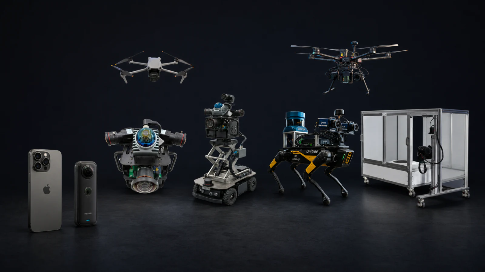
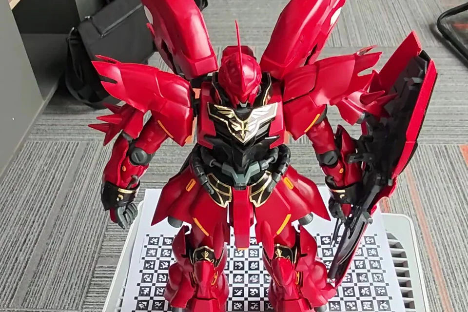
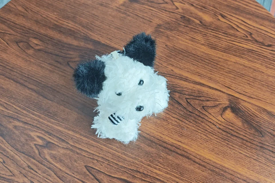
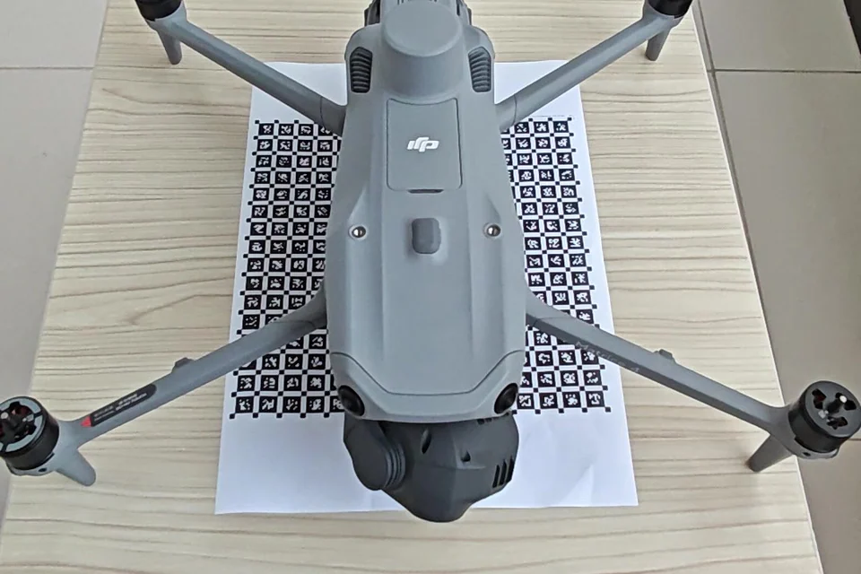
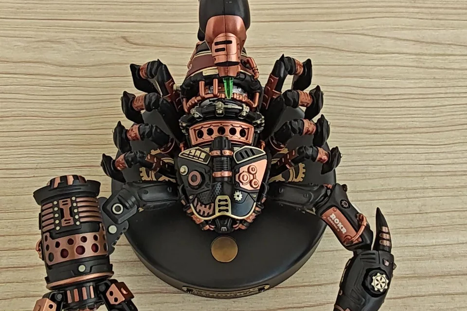
From collectibles and products to professional equipment, users reconstruct from photos or video and publish the results to the MeTop.ai Space community.
- Generated from real-world source data
- Browser-based viewing
- One-click link sharing

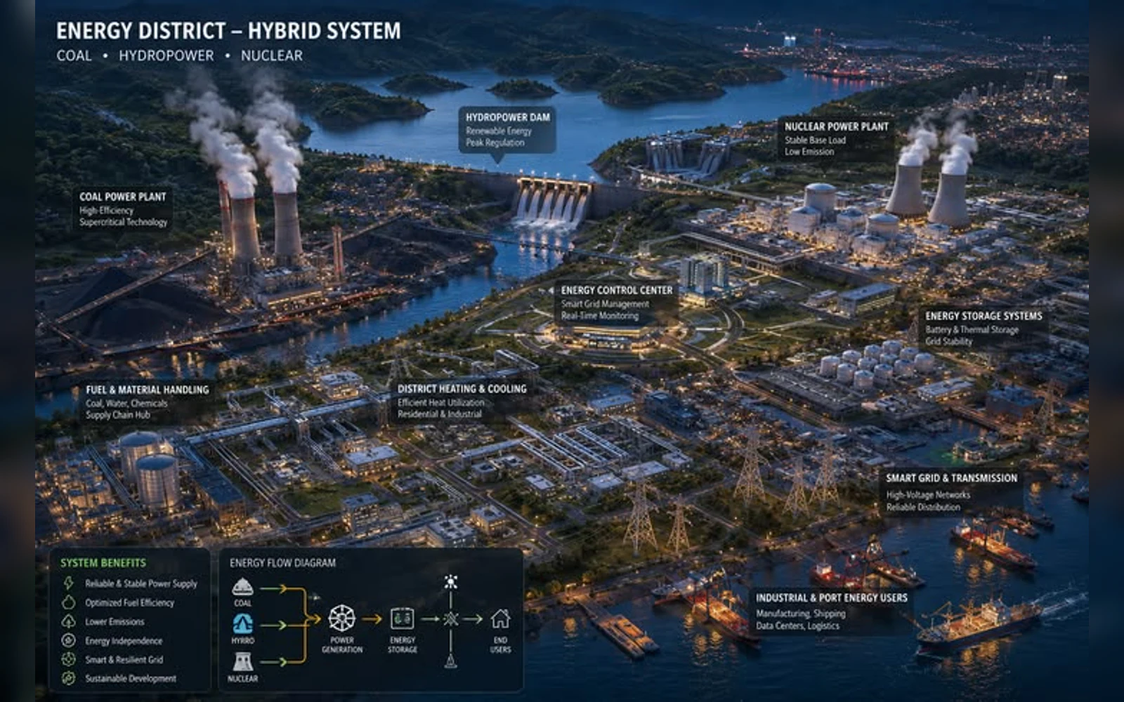
APPLICATIONS
Put 3D assets to work
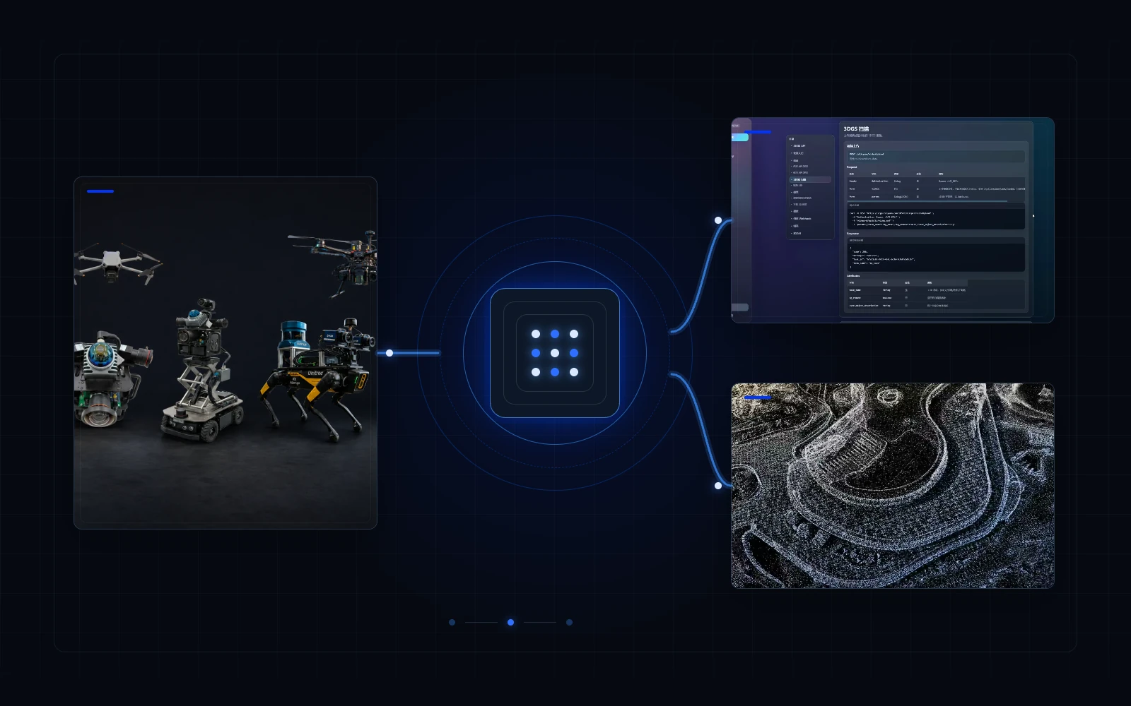
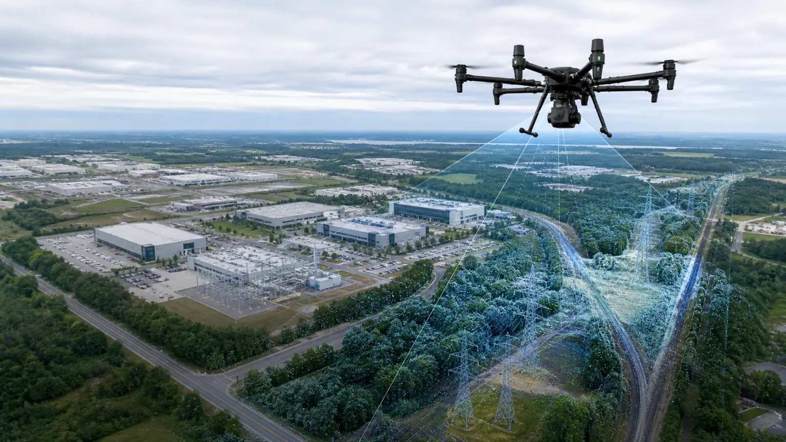
From embodied AI and low-altitude operations to products, manufacturing and spatial marketing, make trustworthy 3D data a reusable digital asset.01Embodied AIBuild 3D environments that robots, unmanned systems and smart devices can understand and localize within, and that can be updated over time.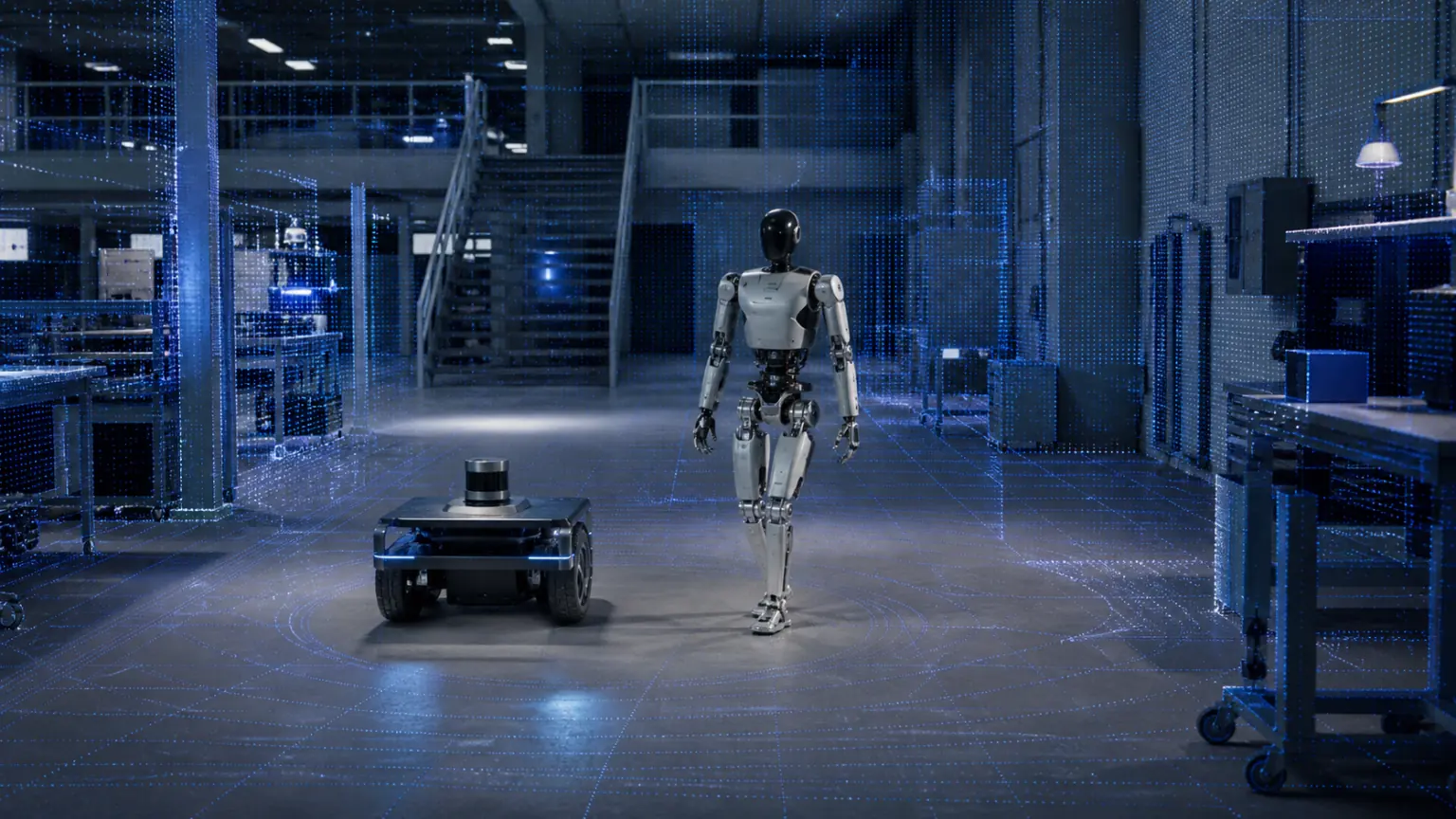 02Low-altitude applicationsTurn drone imagery into measurable, reviewable 3D scenes for inspection, mapping and situational analysis.
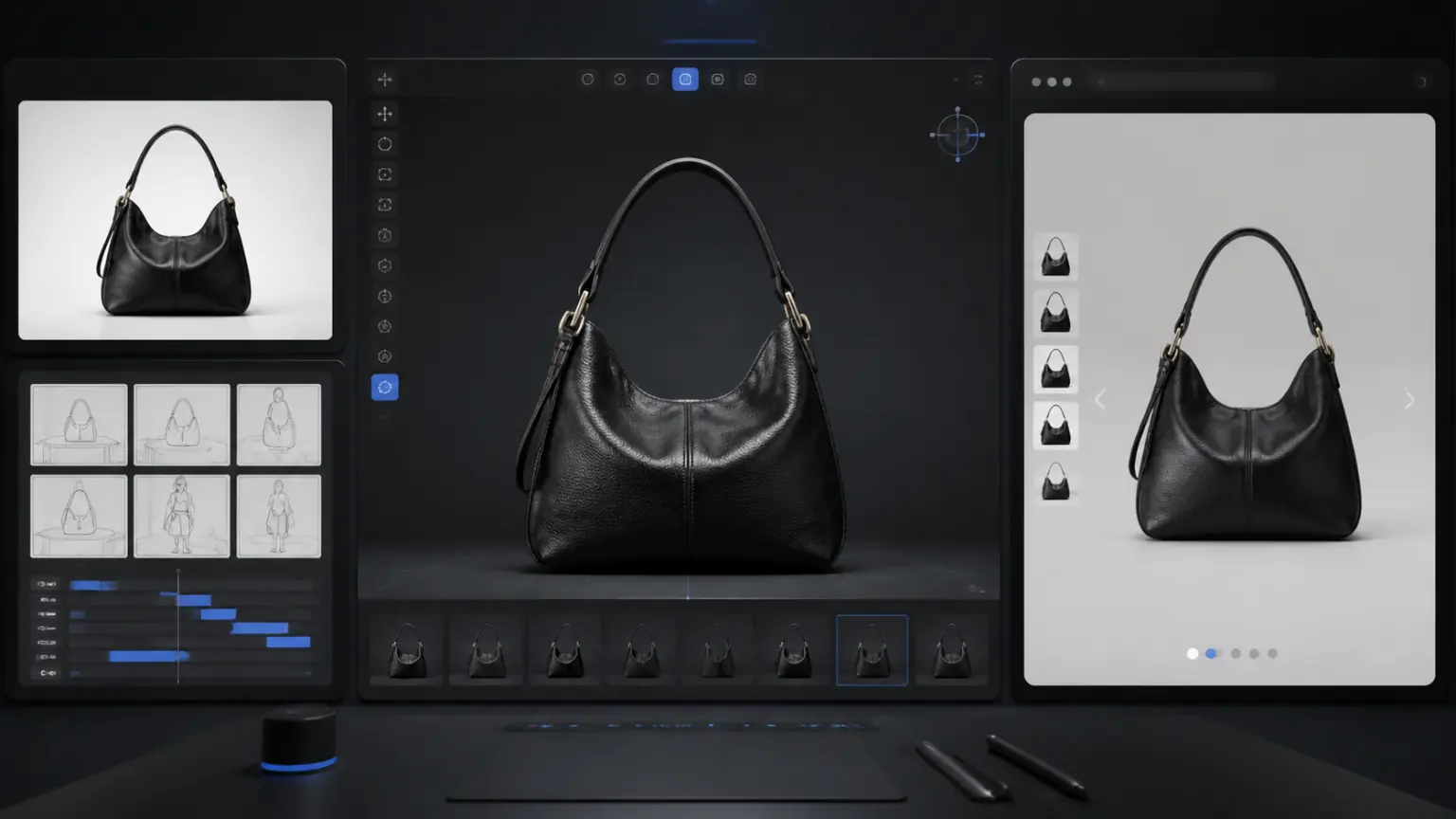
 03E-commerce and brandsTurn real products into trustworthy 3D assets for product pages, marketing videos and interactive displays.
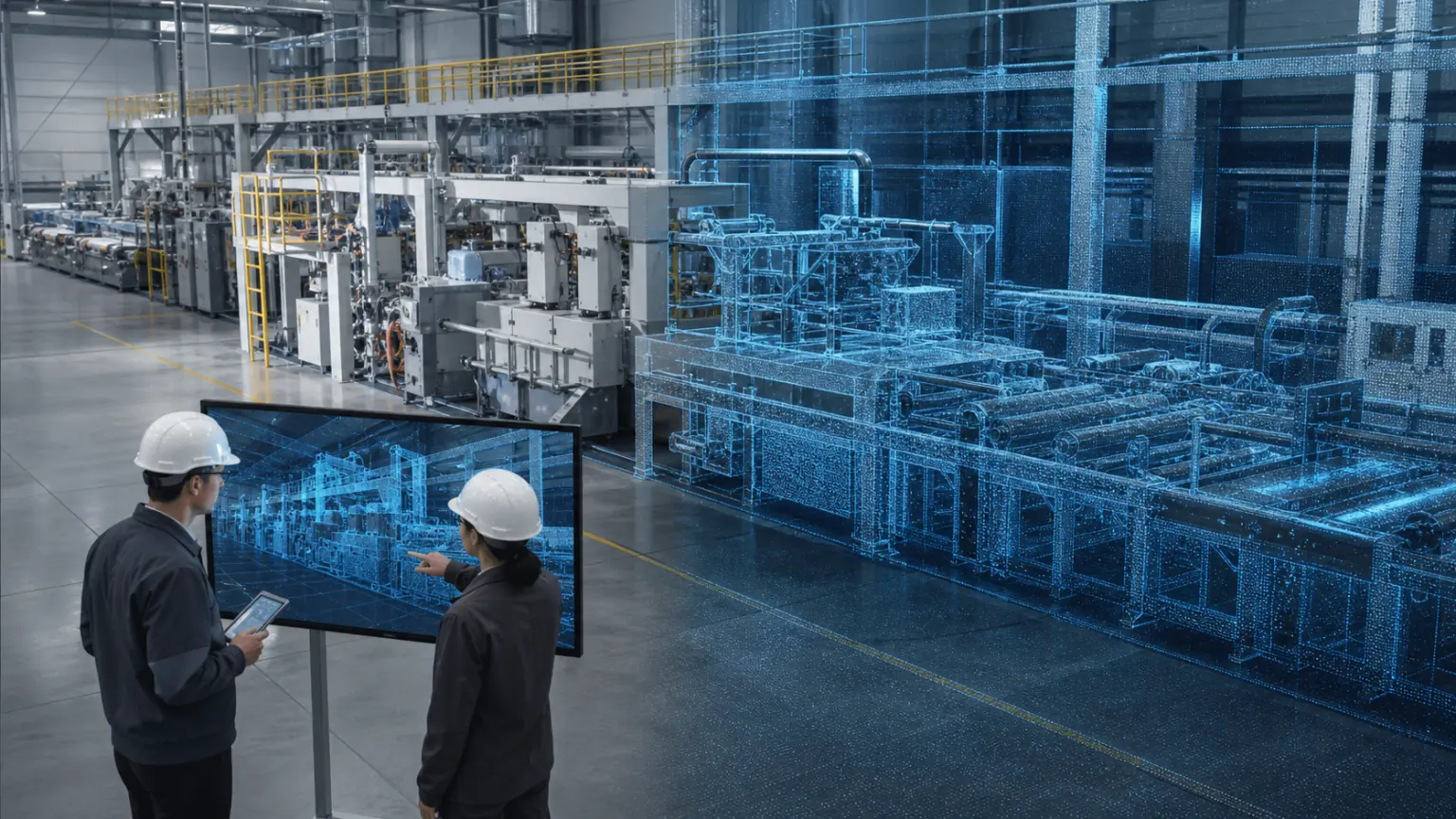
 04Smart manufacturingCreate viewable, annotated 3D records of factories, production lines and equipment for remote collaboration and inspection.
 05Culture, heritage and tourismPreserve cultural artifacts, venues and scenic places in high-fidelity 3D for digital exhibitions and online engagement.
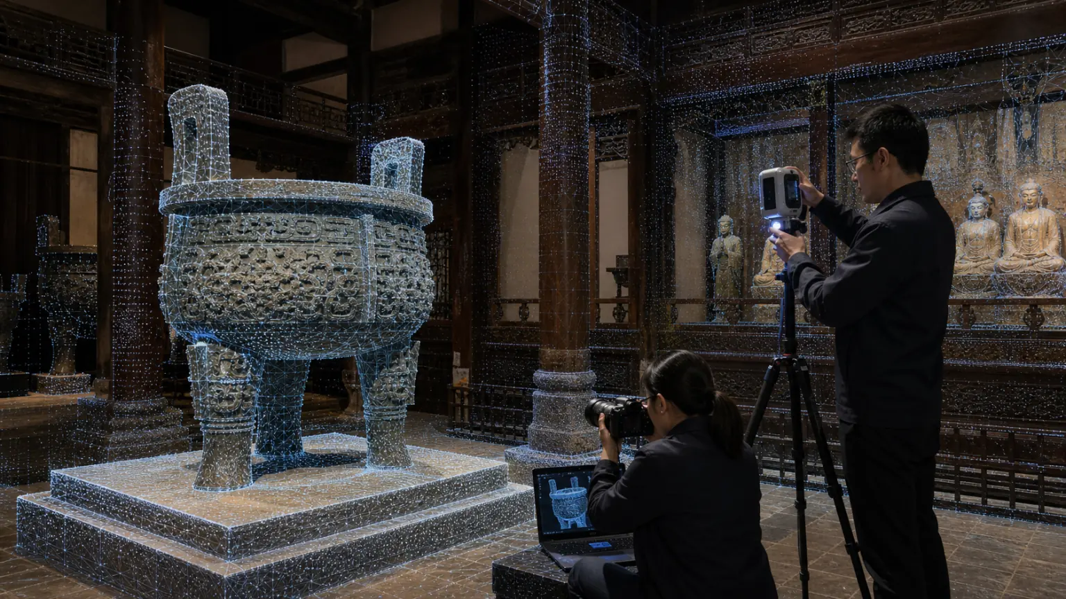 06Spatial marketingTransform stores, exhibition halls and project spaces into interactive content that can be roamed and shared to improve display and conversion efficiency.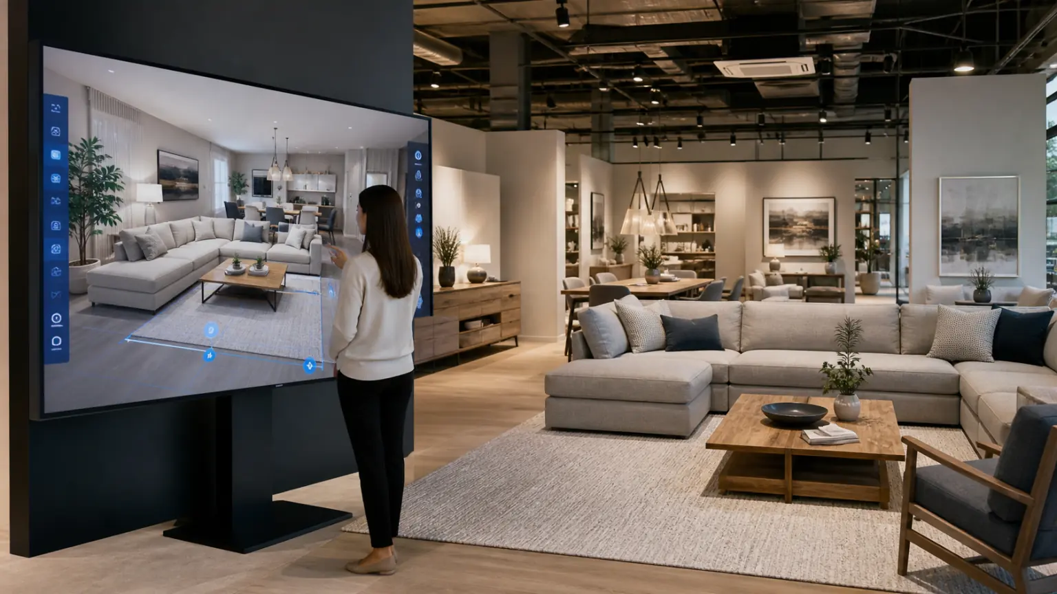
View all solutions02Low-altitude applicationsTurn drone imagery into measurable, reviewable 3D scenes for inspection, mapping and situational analysis.03E-commerce and brandsTurn real products into trustworthy 3D assets for product pages, marketing videos and interactive displays.04Smart manufacturingCreate viewable, annotated 3D records of factories, production lines and equipment for remote collaboration and inspection.05Culture, heritage and tourismPreserve cultural artifacts, venues and scenic places in high-fidelity 3D for digital exhibitions and online engagement.06Spatial marketingTransform stores, exhibition halls and project spaces into interactive content that can be roamed and shared to improve display and conversion efficiency.