Industrial and manufacturing solutions
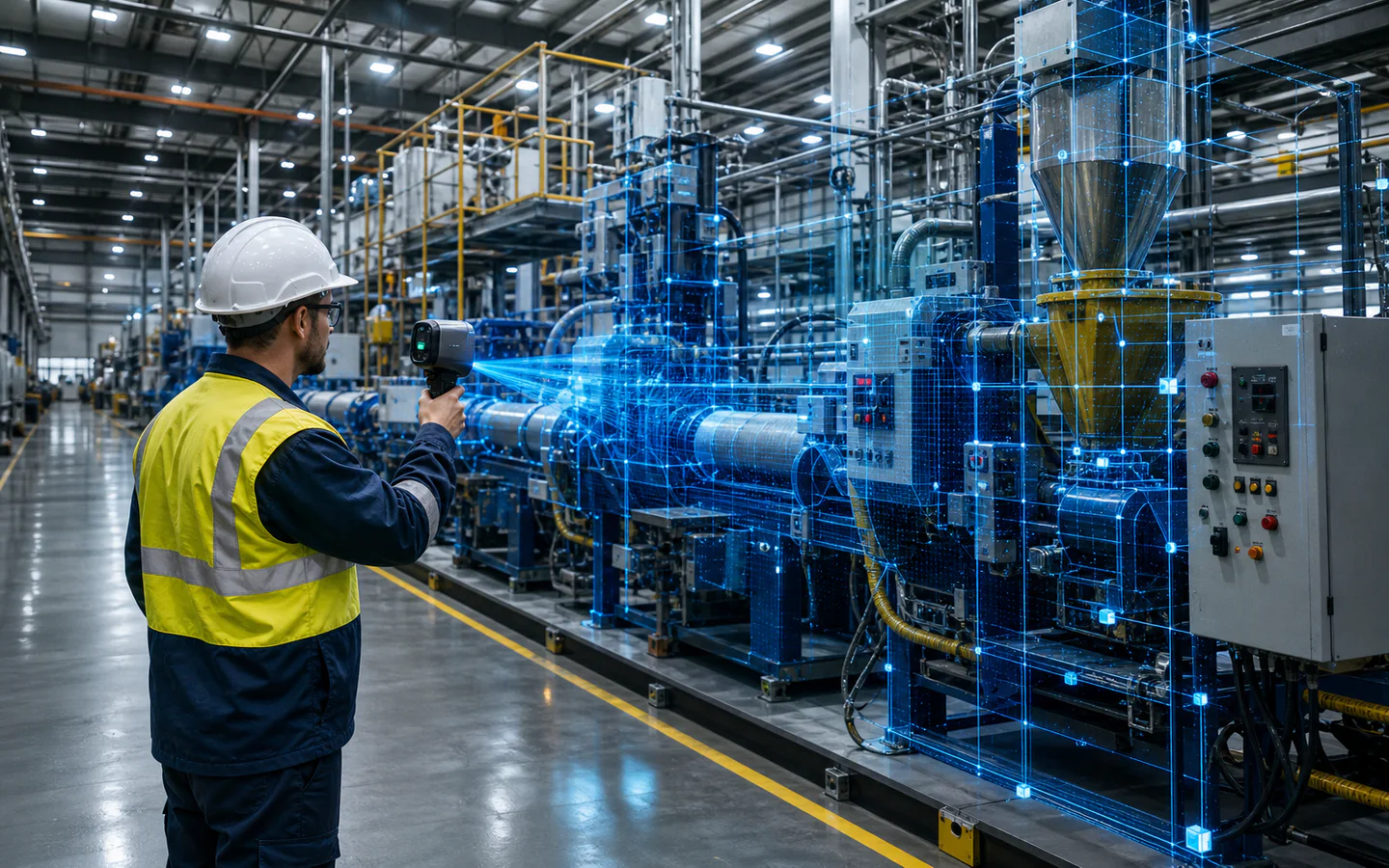
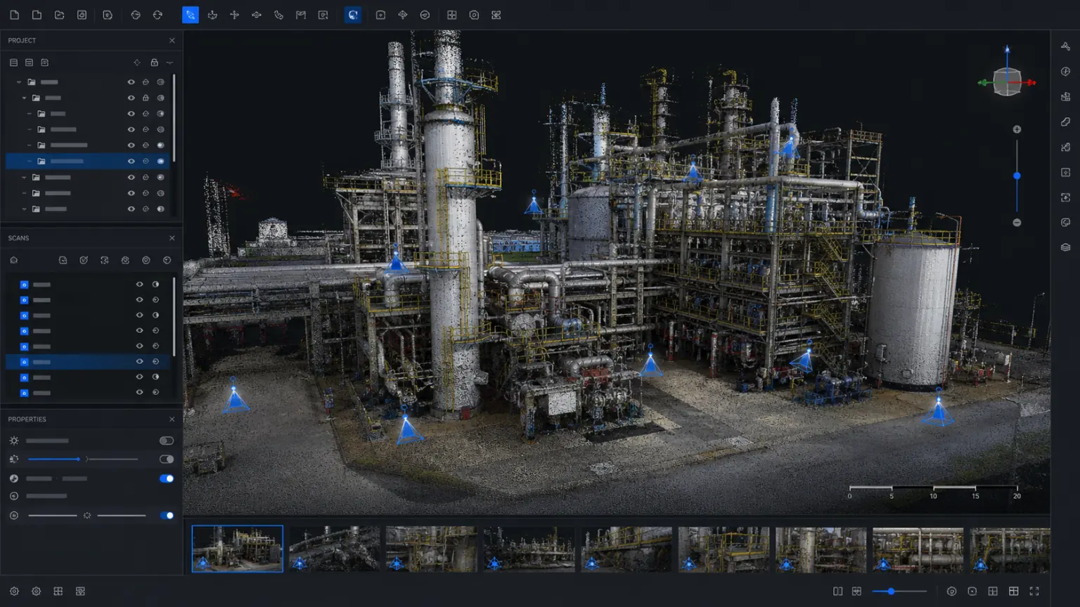
Reconstruct equipment, production lines, buildings and key facilities into 3D records that can be viewed, measured and annotated for collaboration, inspection and delivery.
Industrial and manufacturing / TRUSTWORTHY SPATIAL INTELLIGENCE
Create 3D records of equipment, production lines and factories.
Suppliers, customers and project teams review together.
Keep project deliverables traceable and reusable.
Start with a real project.
Project focus
Equipment drawings, site photos, inspection records and retrofit documents are scattered across systems and teams.
01
2D drawings and partial photos do not fully show the environment around equipment.
02
Issue confirmation and retrofit discussions often require repeated site visits.
03
Equipment changes, maintenance and retrofit records are difficult to trace over time.
solution capability
Organize space, equipment, problem points and project information in a unified manner.
Form real 3D data that can be used continuously
Equipment
Preserve device appearance, location, and surrounding spatial relationships.
Make key spatial relationships and object details visible
Factory area
Record the layout of the plant area, buildings, passageways and facilities.
Reduce duplicate attendance, rework and data verification
mark
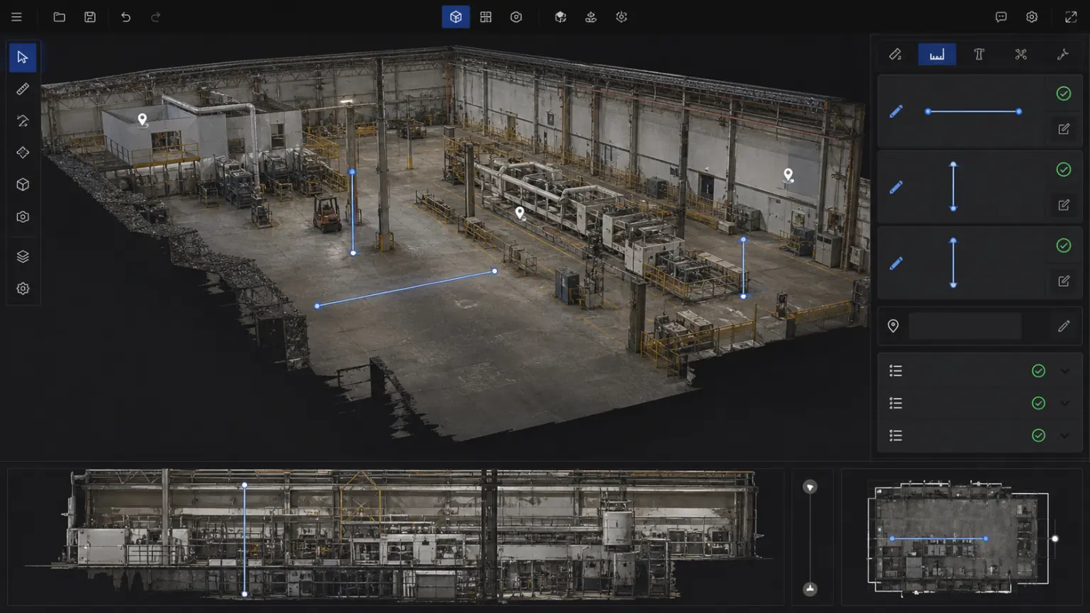
Used for dimensional review, problem logging, and retrofit communication.
Support cross-team viewing, measurement, annotation and review
collaboration
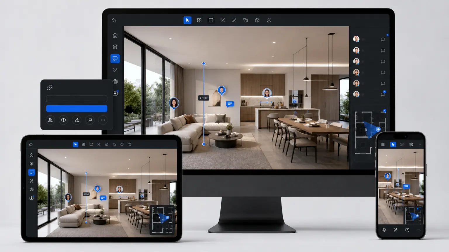
Customers, suppliers and project teams communicate around the same three-dimensional outcome.
Precipitated into a 3D archive of the project that can be updated continuously
Inspection
Associate inspection records, photos and risk points with space.
Implementation process
Clarify the archiving objects, collection scope and results usage.
Document equipment and environments using photos, LiDAR or drones.
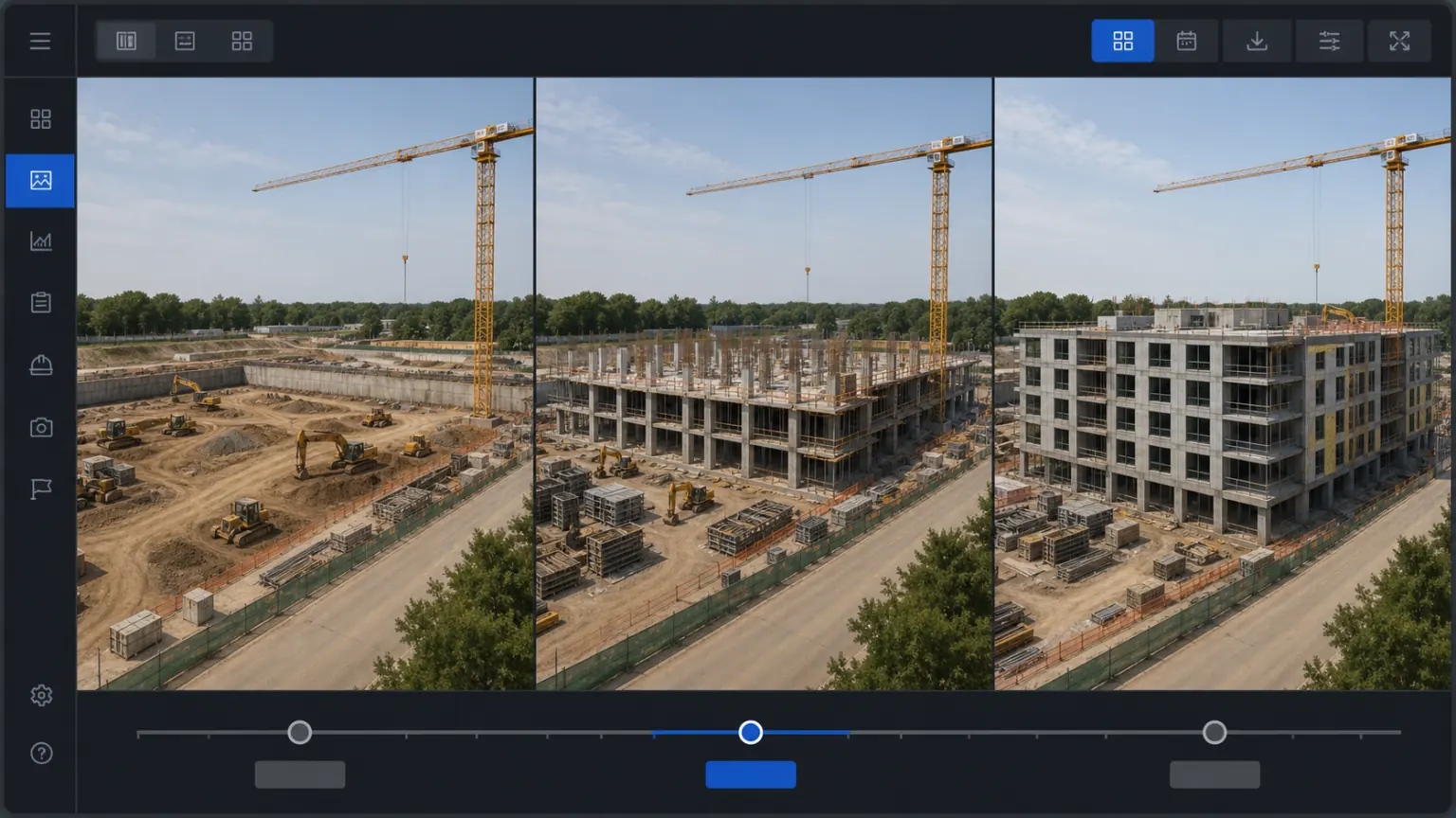
Continuously update around problem points, transformation plans and follow-up inspections.
Delivery content
The specific delivery scope will be confirmed based on the project objects, data conditions, usage methods and deployment requirements.
04
05
Customer Stories
The following locations are used to present project background, implementation process, 3D outcomes, and quantifiable business results.
Application scenarios
Record the equipment status, installation location and surrounding space.
Help design, supplier and factory teams review remotely.
Establish information on workshops, passages, facilities and risk areas.
Continue to view industry applications adjacent to your current project.
Next step
Tell us your equipment type, plant size and data requirements, and we'll provide collection and delivery recommendations.