Real estate and space solutions
Reconstruct showrooms, properties, stores, campuses and offices into online 3D spaces that can be explored, explained and shared.
Real estate and the built environment / TRUSTWORTHY SPATIAL INTELLIGENCE
Explore showrooms, properties and campuses online.
Sales teams and customers communicate around the same spatial link.
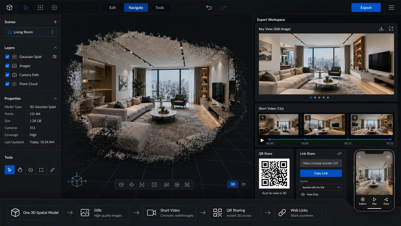
Generate images, video and share links from the 3D space.
Start with a real project.
Project focus
Floor plans, photos and short videos rarely convey spatial scale, circulation and the real experience of using a space.
01
Photos cannot continuously show how rooms connect or how large they feel.
02
Sales, customers and designers often spend time reconciling different references.
03
Every leasing, sales or renovation cycle requires images and video to be reorganized.
solution capability
Turn reality capture into spatial material that can be used online over the long term.
Form real 3D data that can be used continuously
roam
View properties, stores, campuses and offices online.
Make key spatial relationships and object details visible
explain
Provide explanations and Q&A around layouts, areas, amenities and leasing information.
Reduce duplicate attendance, rework and data verification
Take a look
Sales teams give remote tours around the same 3D space.
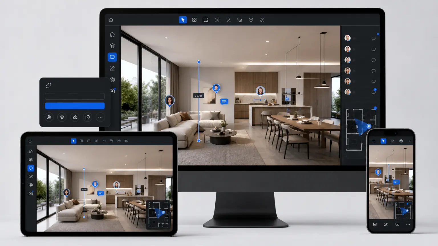
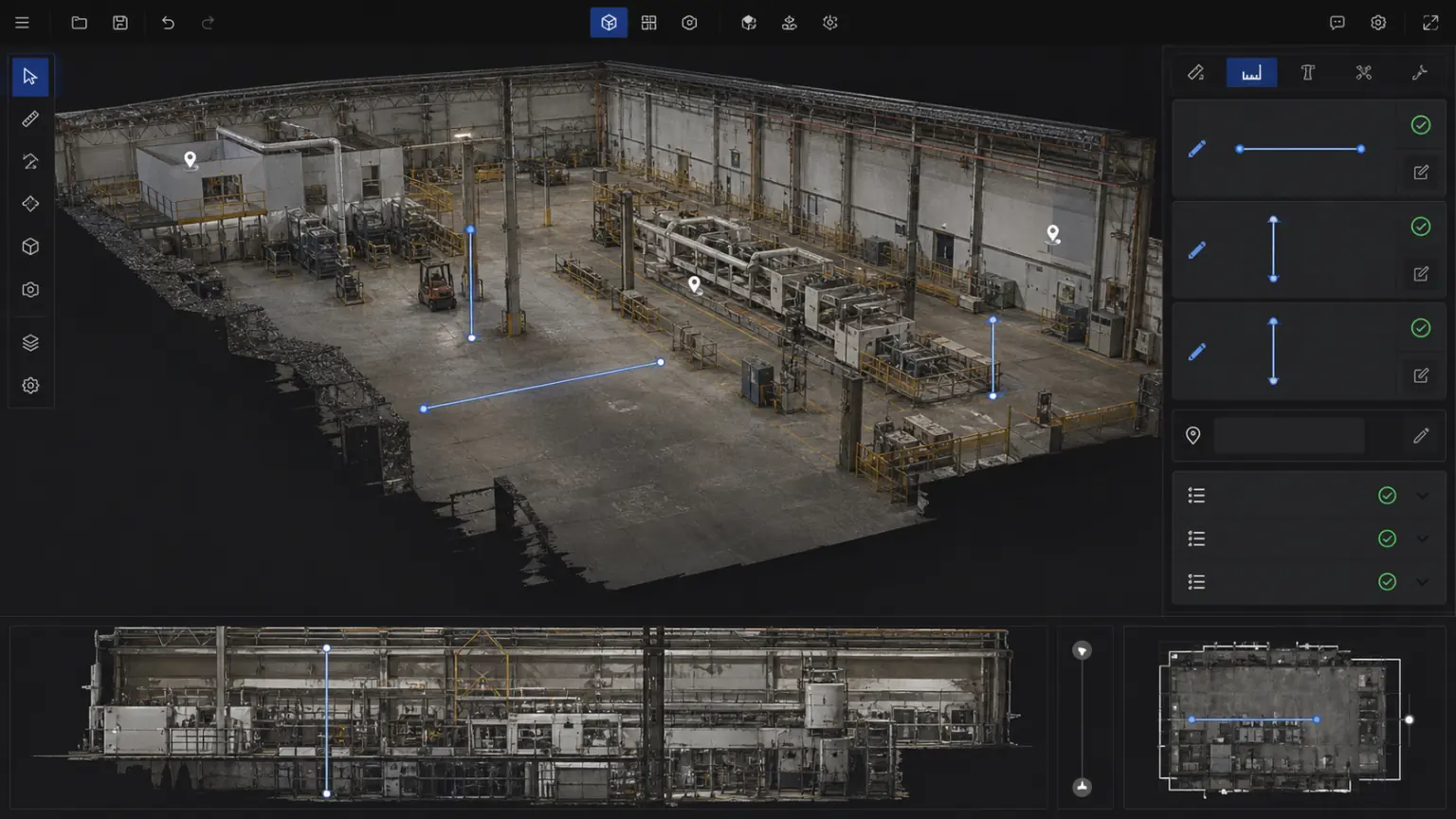
Support cross-team viewing, measurement, annotation and review
layout
Configure furniture or themed scenes for vacant homes and commercial spaces.
The same three-dimensional result can generate pictures, short videos and sharing links.
Material
Export key views, short videos, QR codes and share links.
Implementation process
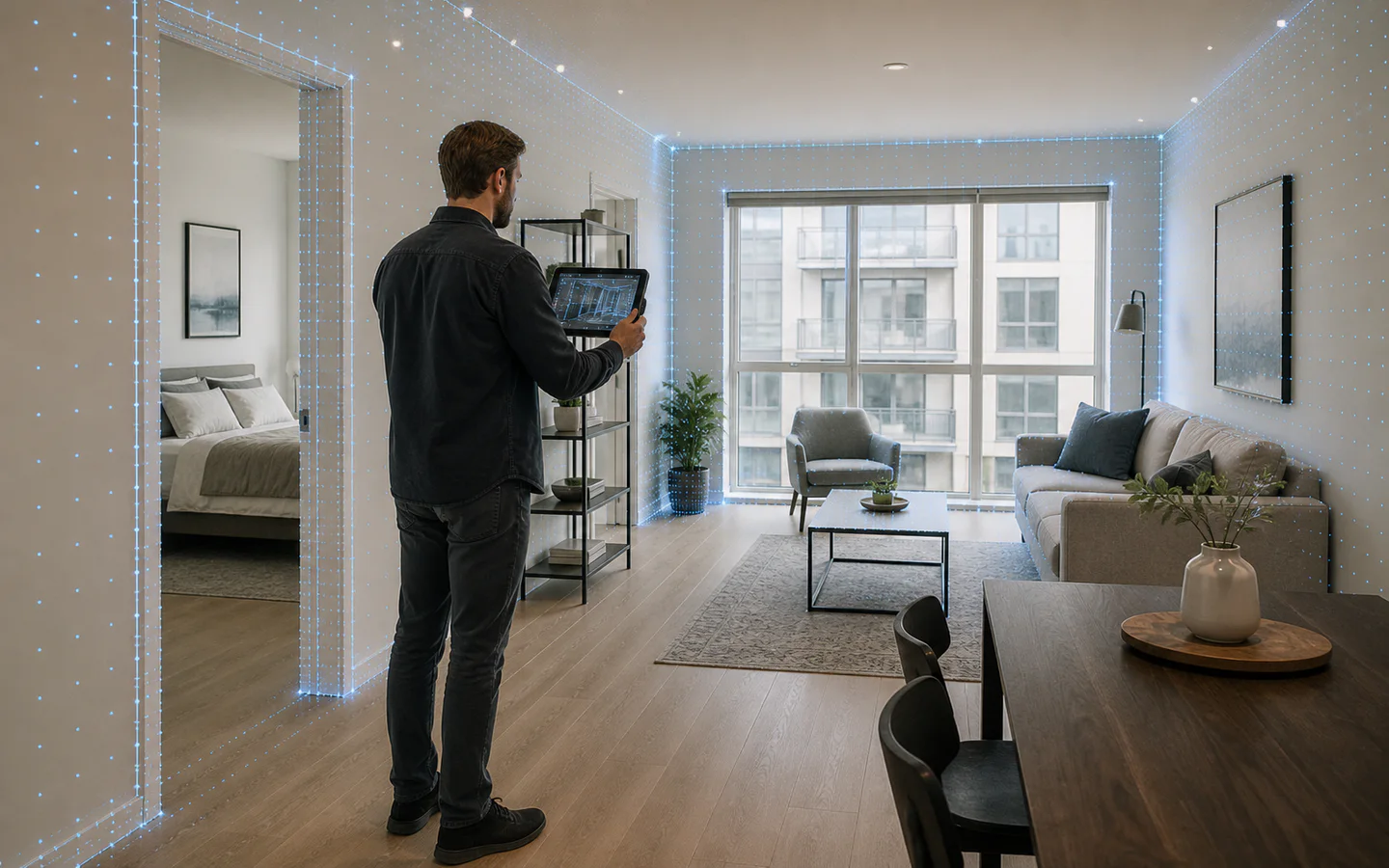
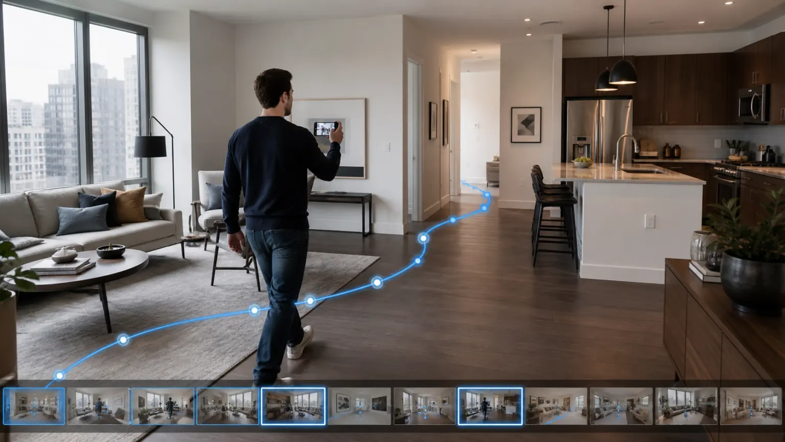
Use a phone, camera or LiDAR device to record the space and priority areas.
Generate a continuous space and configure hotspots, explanations and presentation information.
Present and tour the space through web pages, QR codes and sales links.
Delivery content
The specific delivery scope will be confirmed based on the project objects, data conditions, usage methods and deployment requirements.
04
05
Customer Stories
The following locations are used to present project background, implementation process, 3D outcomes, and quantifiable business results.
Application scenarios
Help customers review layouts, scale and spatial relationships remotely.
Present campus environments, floors, amenities and leasing areas.
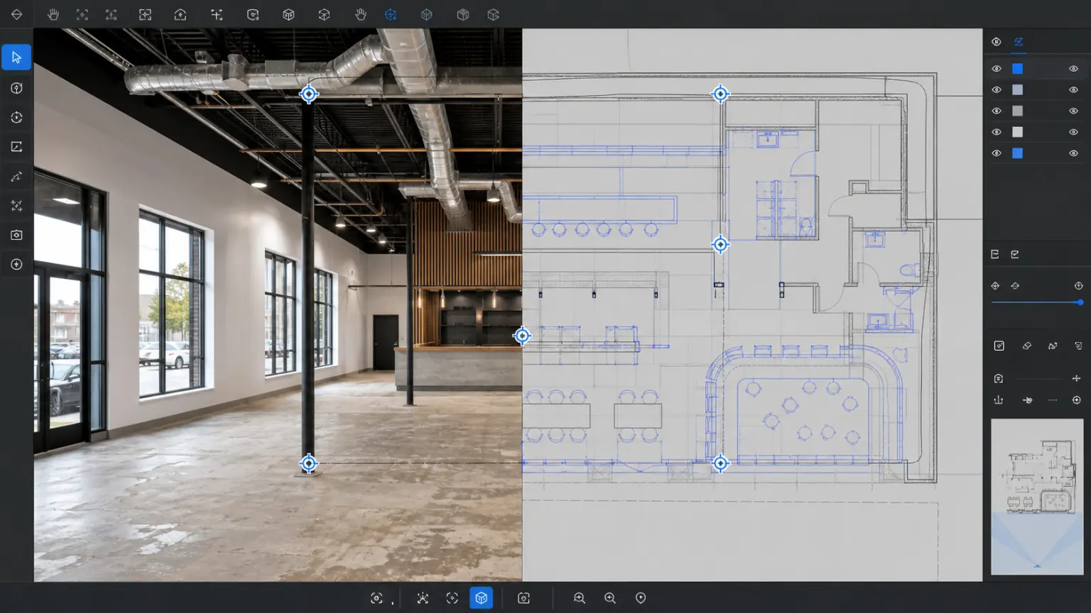
Support site selection, renovation communication and spatial record keeping.
Continue to view industry applications adjacent to your current project.
Next step
Tell us the space type, area, existing equipment and presentation requirements. We will recommend a capture and validation approach.