Capture spatial data for 3D reconstruction on your phone.
Capture photos, video and LiDAR data on your phone using a standardized workflow. Check coverage and source quality as you capture, then sync to MeTop.ai Space or MeTop.ai Studio.
Save offline and continue uploading after the network is restored
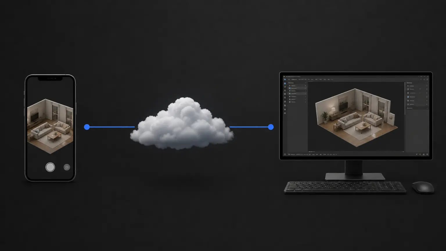
Device-to-cloud workflow
Sync to MeTop.ai Space or MeTop.ai Studio to continue reconstruction
Capture modes
Use your phone to capture products, indoor spaces and outdoor environments.
MeTop.ai Scan guides your capture path, distance and coverage based on reconstruction requirements, and checks source quality during capture.
Products and objects
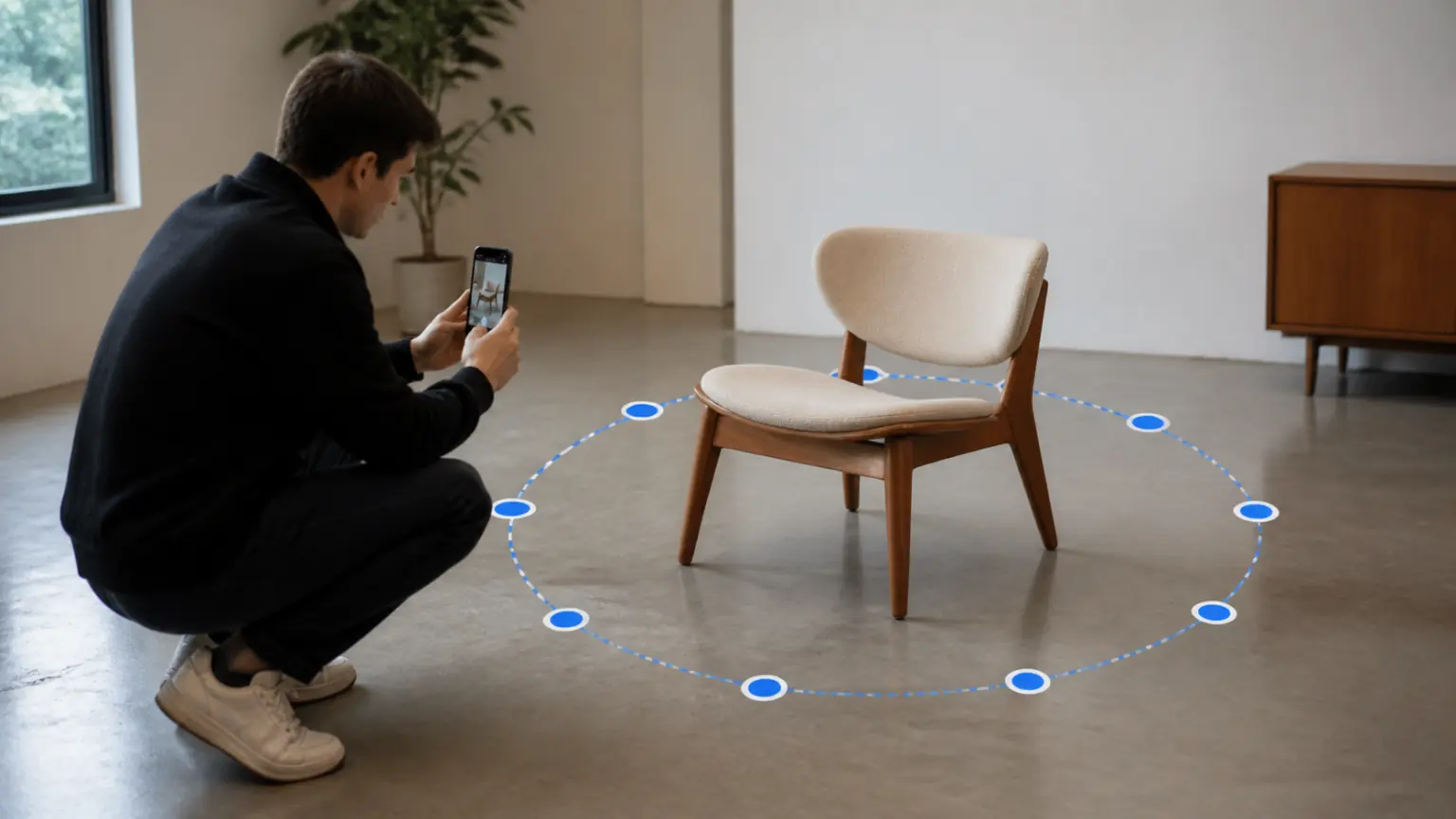
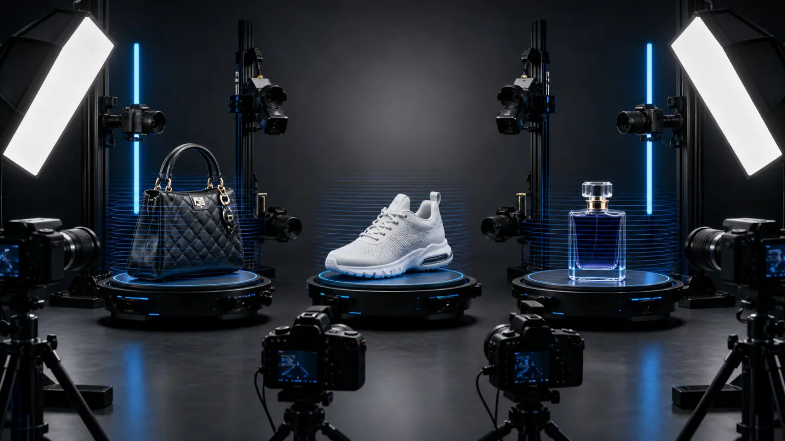
Shoot multiple angles around the product or sample to record outlines, proportions, materials and details for subsequent 3D reconstruction and content production.
multiple angles
Material details
Product assets
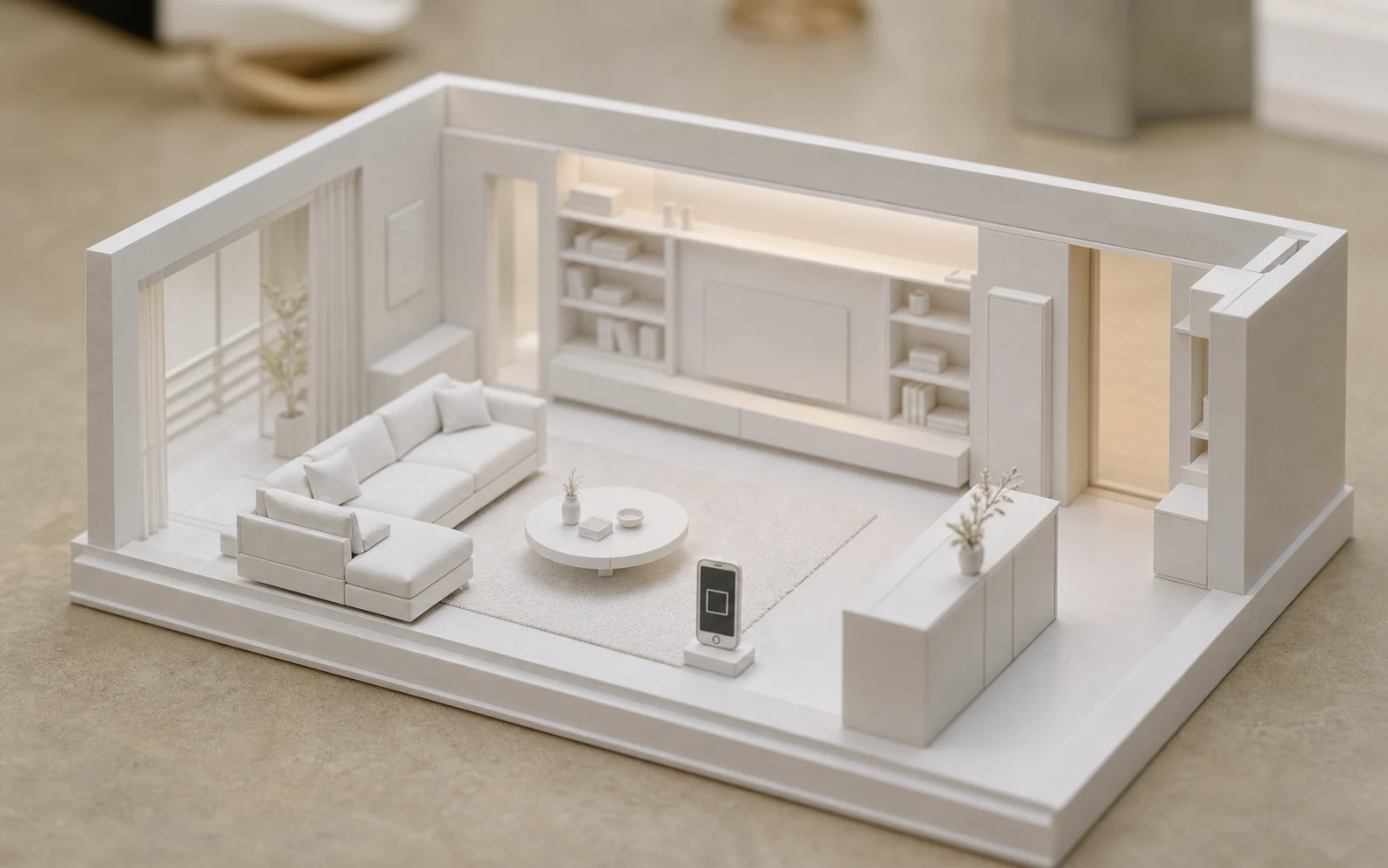
Indoor spaces
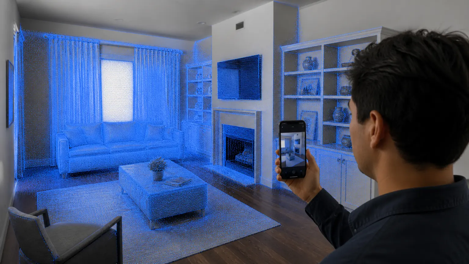
Complete the shooting by room and walking path, and then combine it with the LiDAR device to record the spatial structure, which can be used for property display, measurement and remote viewing.
room
LiDAR
spatial recording
3DGS reality capture
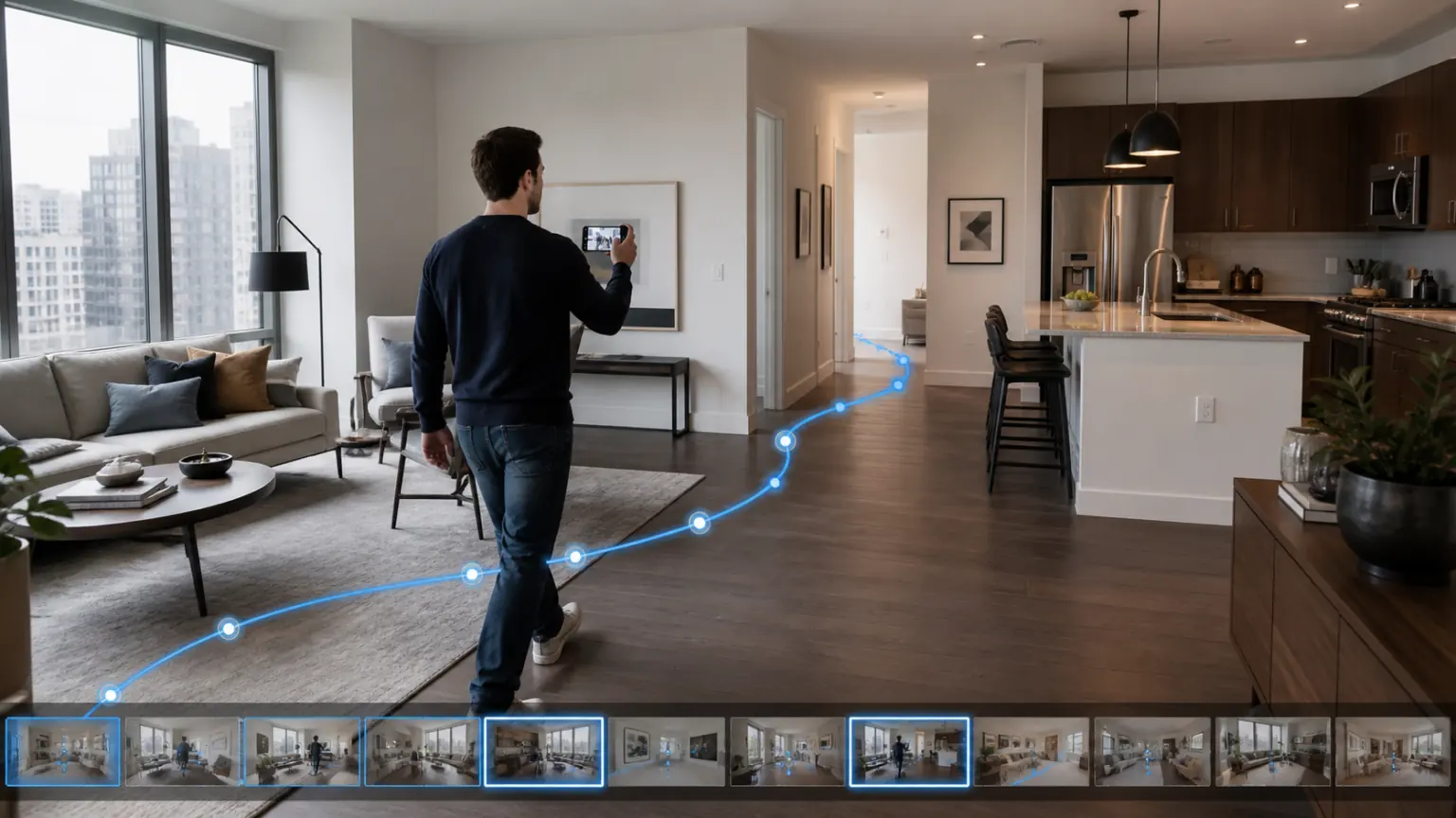
Use continuous videos or photos to record ambient light, materials and spatial relationships, and then generate a 3DGS real-life model.
video
High fidelity
3DGS
Outdoor spaces
Take additional photos of ground details in parks, construction sites, facilities and cultural tourism spaces, and can also be used together with data collected by drones or professional equipment.
Field collection
Reshoot
Multi-device collaboration
Capture workflow
You can check whether the material is qualified during the shooting process.
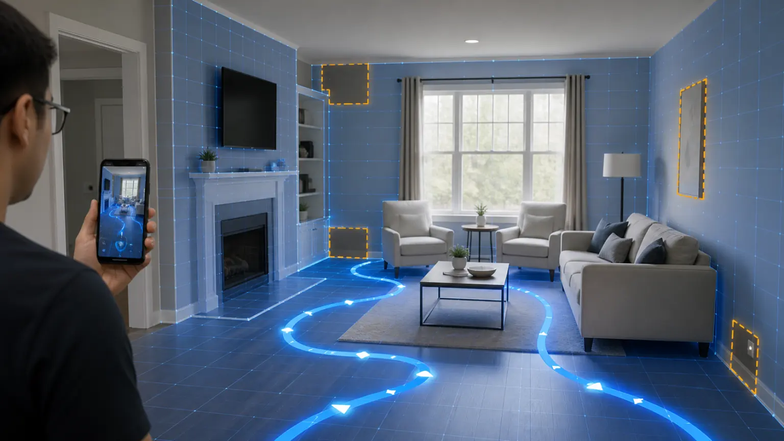
The app will prompt for shooting paths, insufficient coverage, and blurred images. The collector can take additional photos before ending the task to avoid rework.
01
Create a collection task
Select product, indoor space, 3DGS real scene or outdoor recording mode, and fill in the project name, area and purpose.
02
Follow the prompts to shoot
Follow the on-screen prompts to adjust distance, speed and angle to keep the picture clear and the path continuous.
03
Check before leaving the site
Check whether there is blur, overexposure, coverage gaps or path interruptions, and take additional shots on the spot if necessary.
04
Upload and start reconstruction
Synchronize the qualified materials to the MeTop.ai Space or virtual studio to continue reconstruction and delivery.
Capture-quality checks
Before ending the collection, first confirm whether the material is complete.
The spatial camera checks for coverage, clarity, path continuity and positioning information. When you find a gap, you can take another shot immediately.
Coverage
Determine whether the target is recorded continuously and completely
clarity
Identify motion blur, out-of-focus and low-quality footage
continuity
Check the overlapping relationship between the shooting path and adjacent images
Positioning information
Preserve LiDAR, device pose, and item position constraints
Good collection quality
Coverage 86%clarity good
01 Coverage
02 Clarity
03 Continuity
Product capabilities
Check quality as you capture, then upload as soon as the task is complete.
Shooting guidance, quality checks and project synchronization all focus on one goal: to try to find material problems before the acquisition is completed.
Photo-sequence capture
For multi-angle capture of products, objects and detailed spaces.
Video capture
Record objects and spaces quickly with continuous video.
LiDAR scanning
Capture spatial structure, scale and point-cloud information.
Path and coverage guidance
Check the capture area, overlap and continuity.
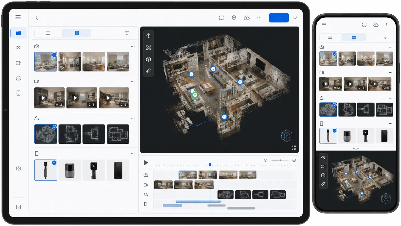
Project material management
Automatically organize photos, video, point clouds and capture records.
Device-to-cloud workflow
Sync projects to MeTop.ai Space or MeTop.ai Studio for further reconstruction.
Usage scenarios
Once captured, the data is ready for the next step.
The captured data can support review, collaboration and project delivery, rather than remaining as a folder of disconnected photos and videos.
Real estate and the built environment
Collection personnel use mobile phones to record housing listings, model rooms, stores and office spaces, and remote teams can directly view the status of real spaces.
Architecture and engineering
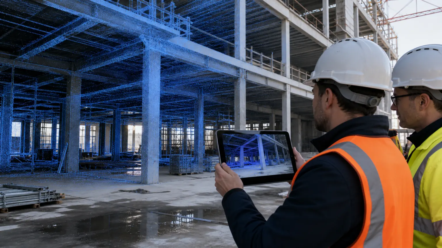
Confirm that key areas have been covered before leaving the site to provide traceable materials for construction records, progress review and completion data.
Commerce and brands
Merchants or service providers photograph products according to unified requirements, and the materials can be used for 3D display and MeTop.ai MeTop.ai 3D Creative Factory.
Industry and facilities
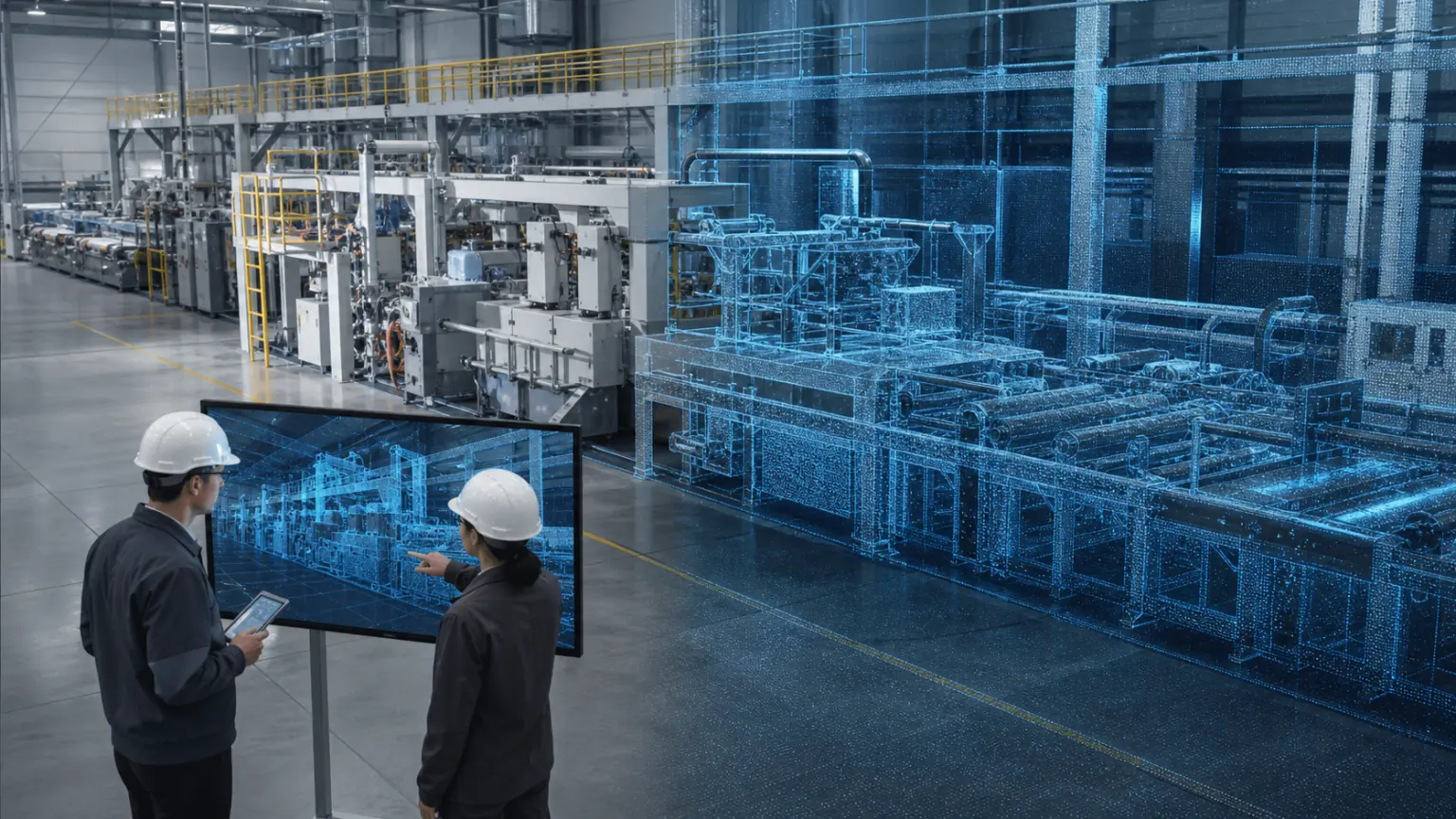
Standardize records of equipment, machine rooms, pipelines and work spaces to connect subsequent inspections, training and asset management.
Mobile, cloud and desktop
The space camera is responsible for collection, and the MeTop.ai Space and virtual studio are responsible for turning materials into results.
MeTop.ai Scan handles mobile capture. Continue in MeTop.ai Space and MeTop.ai Studio for reconstruction, asset management, collaboration and delivery.
MeTop.ai Scan
Mobile collection
Responsible for mobile collection, quality inspection, task organization and material upload.
→
MeTop.ai Space
Cloud reconstruction
Responsible for cloud reconstruction, project management, online viewing and customer delivery.
→
MeTop.ai Studio
Professional desktop production
Responsible for local reconstruction, point cloud processing, accuracy checking and professional format output.
Get started
Start the verification with a real collection task.
Select an item, a room, or an outdoor space to verify the collection experience, material quality, reconstruction results, and team delivery process.
Request a MeTop.ai Scan trial
Tell us your equipment, collection objects and results requirements, and we will provide suitable collection methods and verification suggestions.