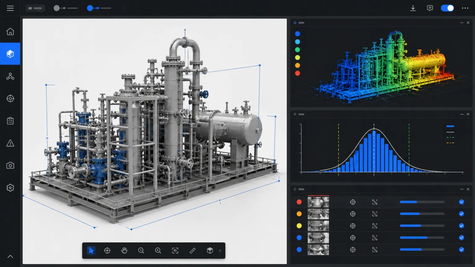
Architecture and engineering solutions
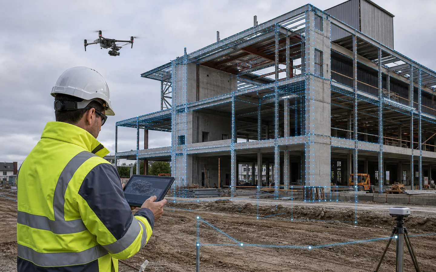
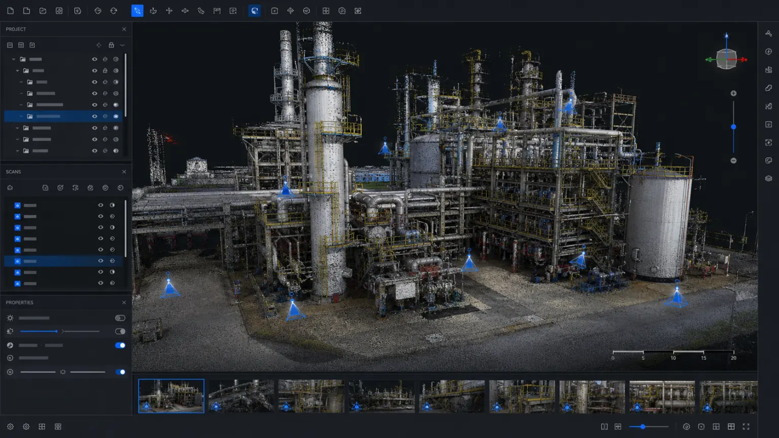
Use photos, drone imagery and point clouds to record construction sites, buildings and milestones for measurement review, remote collaboration, reporting and handover.
Architecture and engineering / TRUSTWORTHY SPATIAL INTELLIGENCE
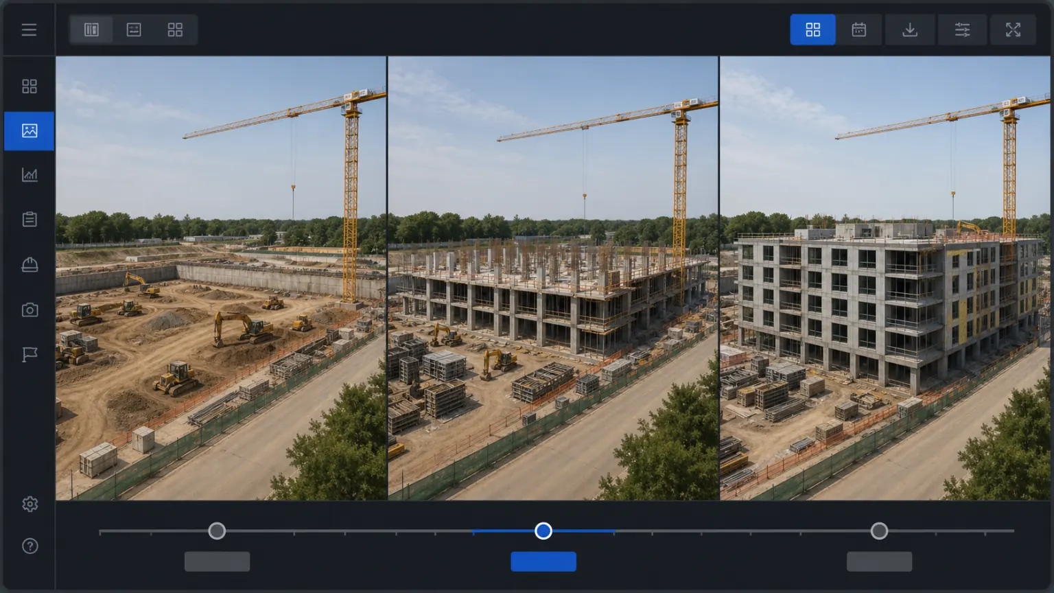
Record key milestones and spatial states over time.
Check dimensions, areas and key points online.
Coordinate across teams around the same 3D deliverable.
Start with a real project.
Project focus
Photos, drawings and text records are scattered, making it difficult to reconstruct construction states and spatial relationships over time.
01
Milestone photos lack complete spatial positions and before-and-after context.
02
Owners, designers, builders and operators often work from different references.
03
Issues, dimensions and remediation steps lack a unified record.
solution capability
Bring spatial states, measurement results and issue records into one 3D record.
Form real 3D data that can be used continuously
Leave a file
Record spatial states, structures and key construction milestones over time.
Make key spatial relationships and object details visible
aerial survey
For campuses, construction sites, roads and building exteriors.
Reduce duplicate attendance, rework and data verification
Fusion
Combine spatial structure, scale and image texture.
Support cross-team viewing, measurement, annotation and review
Review
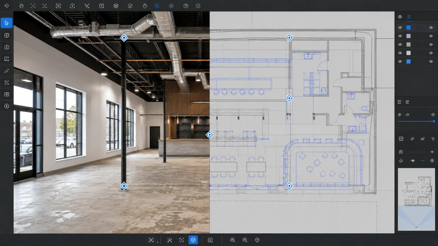
Review dimensions, areas and issue locations online.
Precipitated into a 3D archive of the project that can be updated continuously
Archive
Compare construction states and spatial changes across dates.
Implementation process
Define construction phases, capture areas and acceptance requirements.
Record the site with photos, drones or point clouds.
Check issues and dimensions online, then preserve the delivery record.
Delivery content
The specific delivery scope will be confirmed based on the project objects, data conditions, usage methods and deployment requirements.
04
05
Customer Stories
The following locations are used to present project background, implementation process, 3D outcomes, and quantifiable business results.
Application scenarios
Used for key node archiving, problem review and progress reporting.
Relate spatial outcomes to drawings, measurements, and problem records.
Record the status of large-scale environment, roads, buildings and facilities.
Continue to view industry applications adjacent to your current project.
Next step
Submit a project area or set of acquisitions and we'll evaluate reconstruction, measurement and delivery options.