Service provider delivery solution
Let 3D acquisition and delivery take shape
Reproducible service process
For photography, drones, surveying and mapping, website building and industry service teams, it provides collection specifications, reconstruction platforms and customer delivery tools.

Service-provider delivery / TRUSTWORTHY SPATIAL INTELLIGENCE
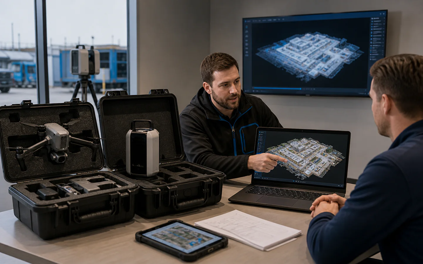
Standard collection specifications
Provide operational requirements by product, space and large scene.
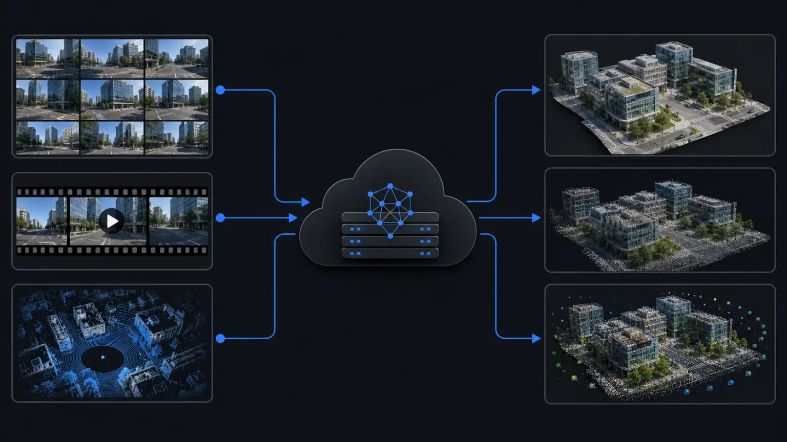
Cloud reconstruction capability
There is no need to build all the computing power yourself to complete the project.
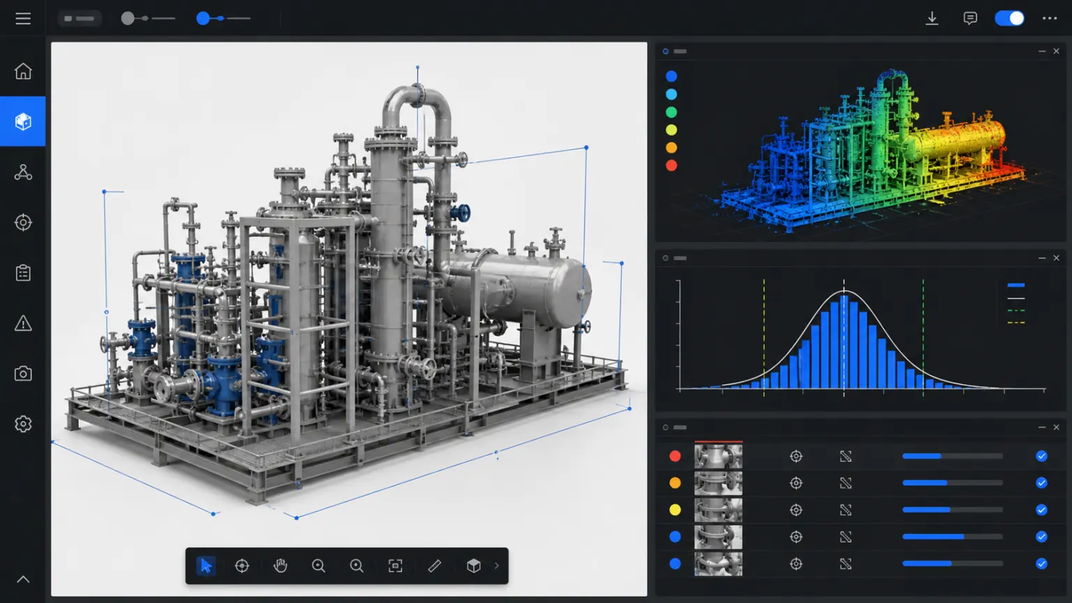
Desktop professional processing
Process point clouds, imagery and professional results.
Project focus
Common difficulties in service provider delivery projects
Organize scattered photos, drawings and field records into three-dimensional data that can be viewed, reviewed and continued to be used.
01
Project quality relies on personal experience
Different members have inconsistent collection and delivery standards.
02
Large files are difficult to deliver to customers
The customer does not have professional software and it is difficult to open the results.
03
Quotation and responsibility boundaries are unclear
Collecting, reconstructing and modifying ranges is easy to iterate.
solution capability
Build usable outcomes around real spaces
From collection, reconstruction to viewing and delivery, a workflow suitable for actual business is formed.
Form real 3D data that can be used continuously
normative
Standard collection specifications
Provide operational requirements by product, space and large scene.
Make key spatial relationships and object details visible
rebuild
Cloud reconstruction capability
There is no need to build all the computing power yourself to complete the project.
Reduce duplicate attendance, rework and data verification
Process
Desktop professional processing
Process point clouds, imagery and professional results.
Support cross-team viewing, measurement, annotation and review
Delivery
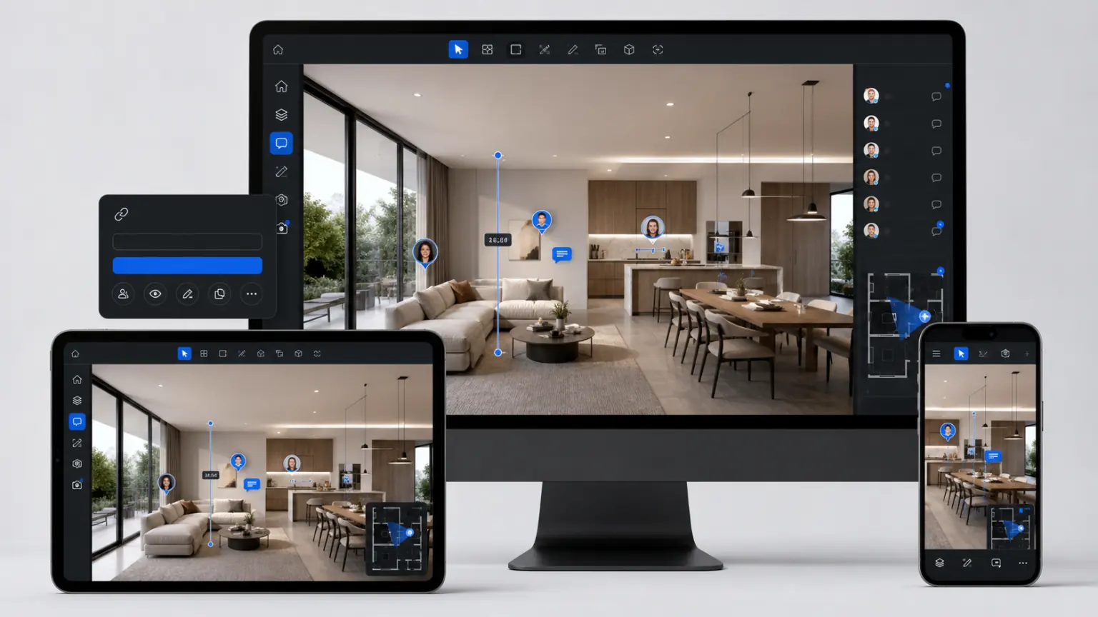
Branded customer delivery
Demonstrate results using web links and corporate branding.
Precipitated into a 3D archive of the project that can be updated continuously
management
Project rights management
Manage customers, members and deliverables.
Implementation process
Pilot and go-live steps
01
Determine objects and purposes
Clarify the collection scope, data boundaries, results usage and acceptance requirements.
02
Collect and complete reconstruction
Build trustworthy 3D results using photos, videos, drones or point cloud data.
03
Review and access business
Complete viewing, measurement, annotation, sharing or enterprise system access.
Delivery content
What does the plan include?
The specific delivery scope will be confirmed based on the project objects, data conditions, usage methods and deployment requirements.
01
Standard collection and quality inspection specifications
02
Cloud or desktop reconstruction results
03
Branded viewing and customer delivery links
04
Project permissions and version management methods
05
Quotation Boundaries and Batch Delivery Process
Customer Stories
Supplement step by step from real projects
The following locations are used to present project background, implementation process, 3D outcomes, and quantifiable business results.
Application scenarios
Photography and commercial photography team
Added three-dimensional product display and content services.
Application scenarios
Drone and mapping team
Provide online delivery and project collaboration.
Application scenarios
Industry integrator
Access customer systems through space engine and project customization services.
Related solutions
Continue to view industry applications adjacent to your current project.
Next step
Use a real project to verify the service provider’s delivery solution
Submit the project scope, existing equipment and outcome requirements and we will provide acquisition, reconstruction and delivery recommendations.