Energy and Facilities Solutions
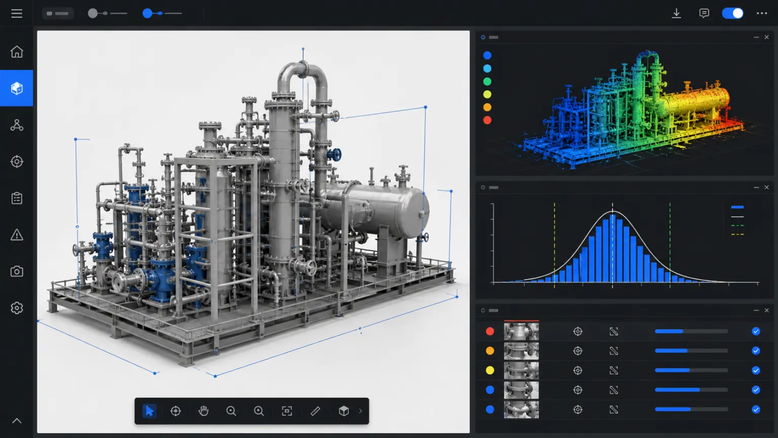
Organize stations, pipelines, equipment and surrounding environments into three-dimensional data that can be viewed, measured and marked.
Energy and Facilities / TRUSTWORTHY SPATIAL INTELLIGENCE
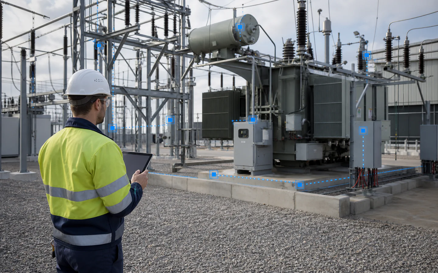
Record site, equipment and spatial relationships.
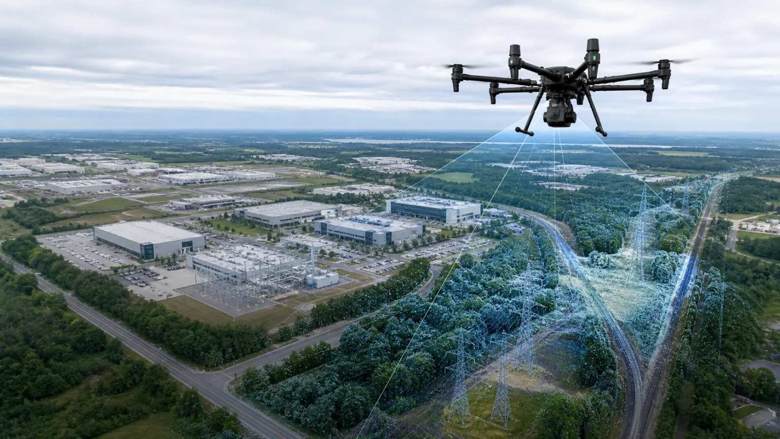
Covers the factory area, lines and surrounding environment.
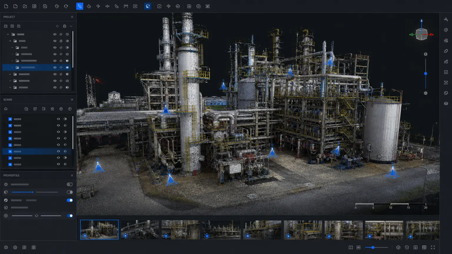
Taking into account both structural scale and surface texture.
Start with a real project.
Project focus
Organize scattered photos, drawings and field records into three-dimensional data that can be viewed, reviewed and continued to be used.
01
Photos cannot fully illustrate equipment, pipelines, and spatial relationships.
02
High-risk or remote facilities are not suitable for frequent presence.
03
Inspection records lack a unified correlation with spatial location.
solution capability
From collection, reconstruction to viewing and delivery, a workflow suitable for actual business is formed.
Form real 3D data that can be used continuously
Create a file
Make key spatial relationships and object details visible
aerial survey
Reduce duplicate attendance, rework and data verification
Fusion
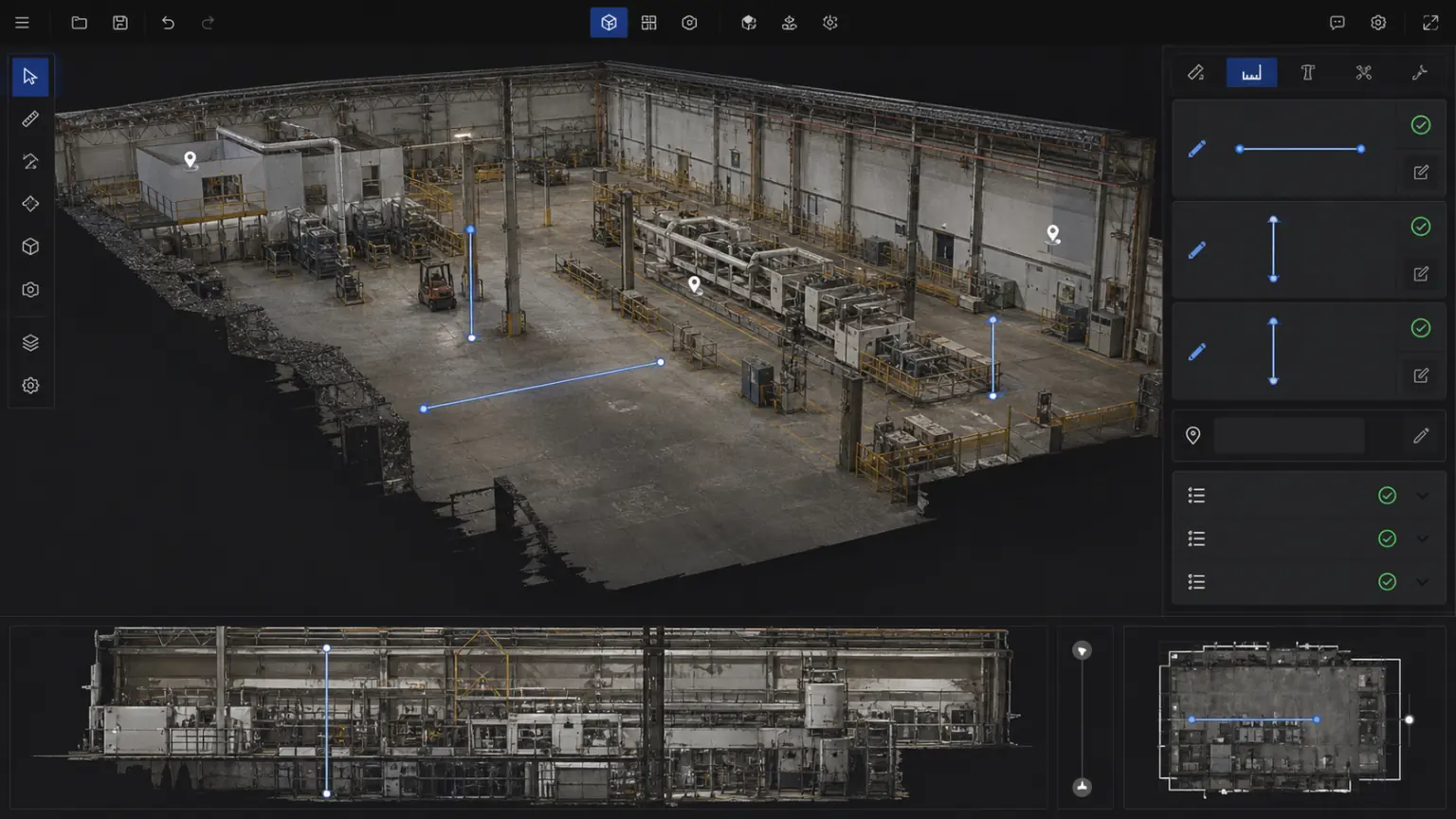
Support cross-team viewing, measurement, annotation and review
risk
Correlate hazards, equipment and inspection records.
Precipitated into a 3D archive of the project that can be updated continuously
Access
Support remote viewing, measurement and communication.
Implementation process
Clarify the collection scope, data boundaries, results usage and acceptance requirements.
Build trustworthy 3D results using photos, videos, drones or point cloud data.
Complete viewing, measurement, annotation, sharing or enterprise system access.
Delivery content
The specific delivery scope will be confirmed based on the project objects, data conditions, usage methods and deployment requirements.
04
05
Customer Stories
The following locations are used to present project background, implementation process, 3D outcomes, and quantifiable business results.
Application scenarios
Preserve equipment layout and key areas.
Record the status of the environment and facilities along the route.
Discussion questions revolve around the same 3D base map.
Continue to view industry applications adjacent to your current project.
Next step
Submit the project scope, existing equipment and outcome requirements and we will provide acquisition, reconstruction and delivery recommendations.