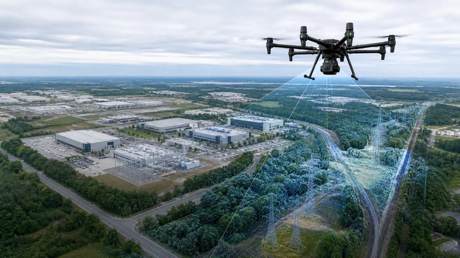
Drone and Aerial Photography Guide Content Preview
Material
Aerial photos and videos
scene
Construction sites, campuses and facilities
Delivery
Model and scene link
Main content
Let’s look at the key steps clearly first
Organize the key points in the order of real projects so that the team can check them one by one during acquisition, reconstruction and delivery.
01
route planning
Maintain stable altitude, overlap rate and coverage, and increase fly-around and low-altitude supplementary shooting in key areas.
02
Data sorting
Organize materials by date, project, region and mission, retain positioning information and differentiate between versions.
03
Results review
Use the reconstruction results to record progress, mark problems, communicate acceptance, and compare spatial changes at different stages.
04
Reshoot key areas
Add orbital or low-altitude supplementary shots of building facades, equipment-dense areas and blocked areas to avoid relying on a single overhead route.
reading path
From guide to real project
01
Reading Guide
First understand the applicable scenarios, material requirements and common problems.
02
Prepare materials
Organize photos, videos, point clouds or project data into lists to reduce rework.
03
Start verification
Complete your first rebuild with MeTop.ai Space, or contact the team to assess a professional project.
Preparation Checklist
Confirm each item before starting
Handing this list to the acquisition, product, or project leader can reduce omissions and duplicate communications.
01
Confirm flight area and operating conditions
02
Set flight altitude, overlap ratio and coverage boundaries
03
Prepare RTK or location data
04
Arrange flyarounds and follow-up shots for key areas
05
Organize material versions by date and order
Continue reading
Check out the guides and documentation for adjacent topics.
After preparing the materials, start verification directly
Register for a MeTop.ai Space account and use real photos or videos to complete the first reconstruction; when it comes to professional equipment, large scenes or corporate access, you can contact us first.